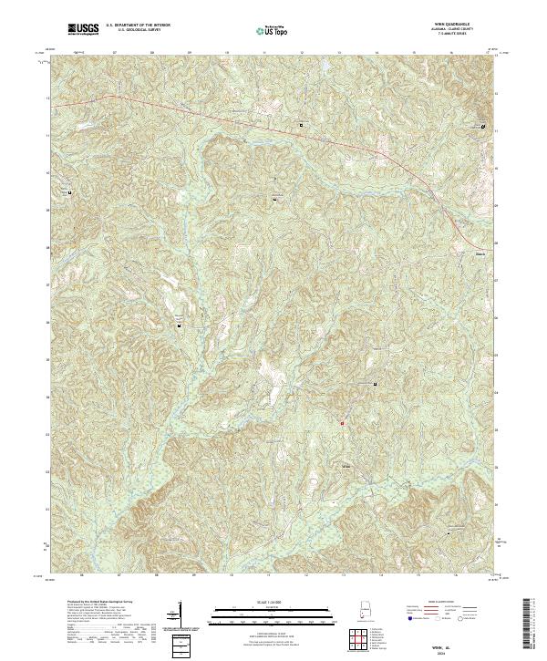
2024 Map of Winn
USGS Topo · Published 2024About this map
The small settlement of Winn serves as a central point in this part of Clarke County, where a network of local roads like Coffeeville Rd and Winn Rd connect scattered family and church sites. The landscape is defined by the winding paths of Tattilaba Creek and Jackson Creek, which cut through a terrain marked by numerous small burial grounds. Genealogists and local historians will find several notable sites including Union Methodist Church Cem, Saint Lukes Cem, and Clarkesville Cem in the northeastern quadrant.
Find a feature on this map
38 named features on this map. Tap any name to fly to it.
Don’t see what you’re looking for? This feature index may not catch every label — zoom into the map to look around manually.
Map Details
Editions of this 2024 Winn Map
This is the sole edition of this map. No revisions or reprints were ever made.
Other maps of this area

1953 · Andalusia
USGS Topo · 1:250,000

1953 · Hattiesburg
USGS Topo · 1:250,000

1957 · Andalusia
USGS Topo · 1:250,000

1958 · Hattiesburg
USGS Topo · 1:250,000

1971 · Coffeeville
USGS Topo · 1:24,000

1972 · Tattlersville
USGS Topo · 1:24,000

1972 · St. Stephens
USGS Topo · 1:24,000

1978 · Jackson
USGS Topo · 1:24,000

1978 · McEntyre
USGS Topo · 1:24,000

1978 · Winn
USGS Topo · 1:24,000