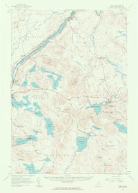
1960 Map of Winn
USGS Topo · Published 1963About this map
The Penobscot River serves as the central artery for this portion of Maine, with its various islands, such as Snow Island and the Brown Islands, noted as part of the Penobscot Indian Reservation. This 1960 field-checked survey highlights the rail-dependent economies of the era, where the Maine Central and Canadian Pacific lines parallel the river and connect settlements like Winn, Lincoln Center, and North Lincoln.
Find a feature on this map
94 named features on this map. Tap any name to fly to it.
Don’t see what you’re looking for? This feature index may not catch every label — zoom into the map to look around manually.
Map Details
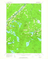
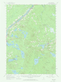
Editions of this 1960 Winn Map
3 editions found
Other maps of this area

1917 · Passadumkeag
USGS Topo · 1:62,500

1920 · Winn
USGS Topo · 1:62,500

1931 · Springfield
USGS Topo · 1:48,000

1931 · Saponac
USGS Topo · 1:48,000

1932 · Nicatous Lake
USGS Topo · 1:48,000

1934 · Saponac
USGS Topo · 1:62,500

1934 · Nicatous Lake
USGS Topo · 1:62,500

1934 · Springfield
USGS Topo · 1:62,500

1940 · Mattawamkeag
USGS Topo · 1:62,500

1941 · Wytopitlock
USGS Topo · 1:62,500