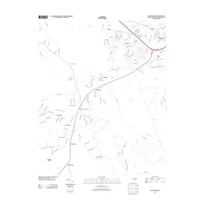
2013 Map of Winnabow
USGS Topo · Published 2013About this map
Winnabow and the surrounding Brunswick County coastal plain are defined by a complex network of blackwater streams and swamps that feed into the lower Cape Fear River basin. In this early 21st-century landscape, traditional settlements like Bishop, Spring Hill, and Lanvale are interspersed with modern residential developments and navigational landmarks like the Winnabow Airport. The road network, including the historic path of Old Town Creek Rd, winds through the lowlands of Beaverdam Swamp and past the headwaters of Town Cr. Significant infrastructure, such as the Rice Creek Bridge and Sturgeon Creek Bridge, highlights the ongoing importance of managing water crossings in this marshy environment. From the established community of Woodburn in the north to the eponymous Bell Swamp in the south, this map documents a region balancing its rural heritage with suburban expansion near the North Carolina coast.
Find a feature on this map
152 named features on this map. Tap any name to fly to it.
Don’t see what you’re looking for? This feature index may not catch every label — zoom into the map to look around manually.
Map Details
Editions of this 2013 Winnabow Map
This is the sole edition of this map. No revisions or reprints were ever made.
Other maps of this area

1942 · Wilmington
USGS Topo · 1:62,500

1943 · Funston
USGS Topo · 1:24,000

1943 · Winnabow
USGS Topo · 1:24,000

1943 · Bolivia
USGS Topo · 1:24,000

1943 · Lewis Swamp
USGS Topo · 1:24,000

1944 · Bolivia
USGS Topo · 1:31,680

1944 · Winnabow
USGS Topo · 1:31,680

1944 · Lewis Swamp
USGS Topo · 1:31,680

1947 · Rocky Point
USGS Topo · 1:62,500

1948 · Wilmington
USGS Topo · 1:62,500