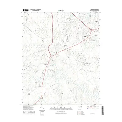
2016 Map of Winnabow
USGS Topo · Published 2016About this map
Town Creek and its many meandering tributaries, including Rice Creek and Mallory Creek, define the coastal lowlands of Brunswick County in this mid-2010s survey. The landscape is a complex mosaic of dense wetlands like Bell Swamp and Little Green Swamp alongside rapidly developing residential areas and established communities. Small historic clusters such as Bishop, Lanvale, and Eliah are mapped near newer road networks that facilitate the growth of Leland and Belville.
Find a feature on this map
161 named features on this map. Tap any name to fly to it.
Don’t see what you’re looking for? This feature index may not catch every label — zoom into the map to look around manually.
Map Details
Editions of this 2016 Winnabow Map
This is the sole edition of this map. No revisions or reprints were ever made.
Other maps of this area

1942 · Wilmington
USGS Topo · 1:62,500

1943 · Funston
USGS Topo · 1:24,000

1943 · Winnabow
USGS Topo · 1:24,000

1943 · Bolivia
USGS Topo · 1:24,000

1943 · Lewis Swamp
USGS Topo · 1:24,000

1944 · Bolivia
USGS Topo · 1:31,680

1944 · Winnabow
USGS Topo · 1:31,680

1944 · Lewis Swamp
USGS Topo · 1:31,680

1947 · Rocky Point
USGS Topo · 1:62,500

1948 · Wilmington
USGS Topo · 1:62,500