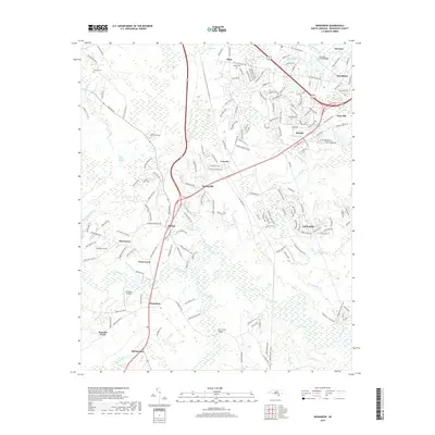
2019 Map of Winnabow
USGS Topo · Published 2019About this map
Town Creek and the surrounding coastal plains of Brunswick County are defined by a complex drainage network that includes Rice Creek and Mallory Creek. This landscape shows a distinct pattern of residential expansion moving outward from the established centers of Leland and Belville. The map details smaller settlements like Eliah, Bishop, and Lanvale, which are interspersed between expansive natural areas such as the Little Green Swamp and Beaverdam Swamp. Local history and genealogy are preserved through the locations of the Benton Cem and Nelson Cem, alongside landmarks such as the Winnabow Airport. The transportation network is anchored by several bridges, including the Sturgeon Creek Bridge and Rice Creek Bridge, which connect these disparate coastal communities across the wetlands of Bell Swamp and Mill Creek.
Find a feature on this map
189 named features on this map. Tap any name to fly to it.
Don’t see what you’re looking for? This feature index may not catch every label — zoom into the map to look around manually.
Map Details
Editions of this 2019 Winnabow Map
This is the sole edition of this map. No revisions or reprints were ever made.
Other maps of this area

1942 · Wilmington
USGS Topo · 1:62,500

1943 · Funston
USGS Topo · 1:24,000

1943 · Winnabow
USGS Topo · 1:24,000

1943 · Bolivia
USGS Topo · 1:24,000

1943 · Lewis Swamp
USGS Topo · 1:24,000

1944 · Bolivia
USGS Topo · 1:31,680

1944 · Winnabow
USGS Topo · 1:31,680

1944 · Lewis Swamp
USGS Topo · 1:31,680

1947 · Rocky Point
USGS Topo · 1:62,500

1948 · Wilmington
USGS Topo · 1:62,500