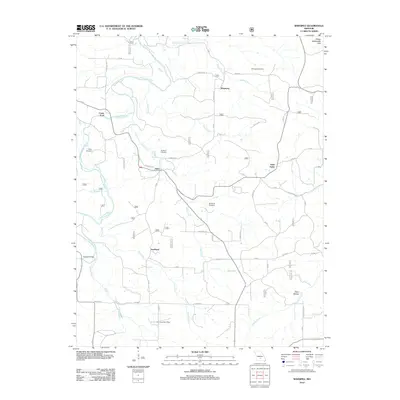
2012 Map of Winnipeg
USGS Topo · Published 2012About this map
The Gasconade River winds through the heart of the Osage Gasconade Hills, defining the rural character of Laclede County in the early twenty-first century. This landscape is marked by small settlements such as Winnipeg, Nebo, and Southard, connected by a network of local roads including Veterans DR and Audrain RD. The presence of the Pine Creek Post Office and several family or community burial grounds, such as Chatham Cemetery and McGinnis Cemetery, highlights the area's deep-rooted local history.
Find a feature on this map
39 named features on this map. Tap any name to fly to it.
Don’t see what you’re looking for? This feature index may not catch every label — zoom into the map to look around manually.
Map Details
Editions of this 2012 Winnipeg Map
This is the sole edition of this map. No revisions or reprints were ever made.
Other maps of this area

1931 · Manes
USGS Topo · 1:48,000

1941 · Big Piney
USGS Topo · 1:62,500

1941 · Manes
USGS Topo · 1:62,500

1941 · Bado
USGS Topo · 1:62,500

1943 · Big Piney
USGS Topo · 1:62,500

1943 · Manes
USGS Topo · 1:62,500

1943 · Drynob
USGS Topo · 1:62,500

1943 · Bado
USGS Topo · 1:62,500

1954 · Springfield
USGS Topo · 1:250,000

1954 · Drynob
USGS Topo · 1:62,500