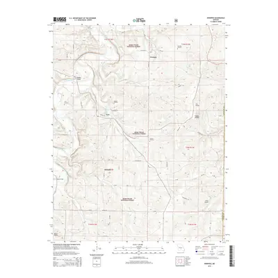
2015 Map of Winnipeg
USGS Topo · Published 2015About this map
The Gasconade River winds through the northern portion of this Laclede County landscape, defining the topography of a region heavily integrated into the Mark Twain National Forest. Local connectivity is anchored by small settlements and river crossings like Casey Ford and the Dougan Bridge. A network of rural routes, including Winnipeg Dr and Veterans Dr, links isolated communities such as Winnipeg, Nebo, and Southard.
Find a feature on this map
49 named features on this map. Tap any name to fly to it.
Don’t see what you’re looking for? This feature index may not catch every label — zoom into the map to look around manually.
Map Details
Editions of this 2015 Winnipeg Map
This is the sole edition of this map. No revisions or reprints were ever made.
Other maps of this area

1931 · Manes
USGS Topo · 1:48,000

1941 · Big Piney
USGS Topo · 1:62,500

1941 · Manes
USGS Topo · 1:62,500

1941 · Bado
USGS Topo · 1:62,500

1943 · Big Piney
USGS Topo · 1:62,500

1943 · Manes
USGS Topo · 1:62,500

1943 · Drynob
USGS Topo · 1:62,500

1943 · Bado
USGS Topo · 1:62,500

1954 · Springfield
USGS Topo · 1:250,000

1954 · Drynob
USGS Topo · 1:62,500