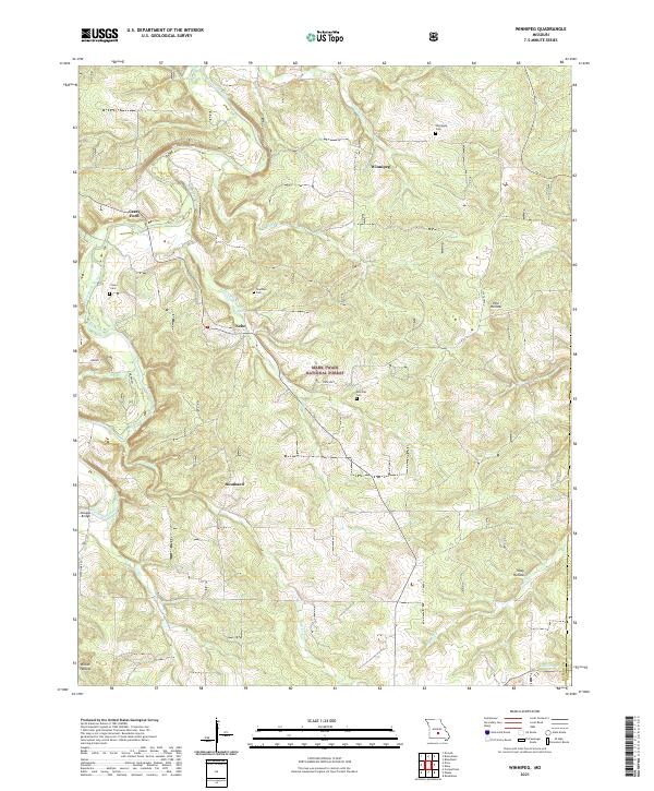
2021 Map of Winnipeg
USGS Topo · Published 2021About this map
The Gasconade River winds through the northwestern corner of this Laclede County landscape, where the historical Casey Ford and Dougan Bridge provided essential crossings for early residents. This rugged Ozark terrain is defined by its numerous drainages, including Mill Creek, Kuhn Creek, and Pine Creek, which carve deep hollows like Pine Hollow and Tracy Hollow. Small, established settlements are scattered throughout the hills, including Winnipeg, Nebo, and Southard, each serving as a focal point for the surrounding rural community.
Find a feature on this map
33 named features on this map. Tap any name to fly to it.
Don’t see what you’re looking for? This feature index may not catch every label — zoom into the map to look around manually.
Map Details
Editions of this 2021 Winnipeg Map
This is the sole edition of this map. No revisions or reprints were ever made.
Other maps of this area

1931 · Manes
USGS Topo · 1:48,000

1941 · Big Piney
USGS Topo · 1:62,500

1941 · Manes
USGS Topo · 1:62,500

1941 · Bado
USGS Topo · 1:62,500

1943 · Big Piney
USGS Topo · 1:62,500

1943 · Manes
USGS Topo · 1:62,500

1943 · Drynob
USGS Topo · 1:62,500

1943 · Bado
USGS Topo · 1:62,500

1954 · Springfield
USGS Topo · 1:250,000

1954 · Drynob
USGS Topo · 1:62,500