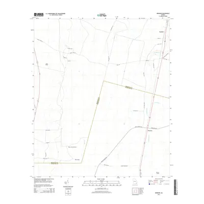
2014 Map of Winokur
USGS Topo · Published 2014About this map
Trail Ridge dominates the western topography of this coastal plain landscape, marking a significant geological boundary that runs through the borderlands of Brantley Co and Charlton Co. The settlements of Bachlott and Winokur serve as the primary hubs of activity along the Us-301 corridor, which anchors the eastern portion of the sheet. The terrain is defined by a complex network of wetland features, including the White Oak Hammock, Briar Island, and Cedar Hammocks, indicating a landscape where dry ridges and swampy depressions alternate.
Find a feature on this map
34 named features on this map. Tap any name to fly to it.
Don’t see what you’re looking for? This feature index may not catch every label — zoom into the map to look around manually.
Map Details
Editions of this 2014 Winokur Map
This is the sole edition of this map. No revisions or reprints were ever made.
Other maps of this area

1917 · Nahunta
USGS Topo · 1:62,500

1917 · Boulogne
USGS Topo · 1:62,500

1918 · Folkston
USGS Topo · 1:62,500

1918 · Nahunta
USGS Topo · 1:62,500

1919 · Boulogne
USGS Topo · 1:62,500

1946 · Brunswick
USGS Topo · 1:250,000

1948 · Jacksonville
USGS Topo · 1:250,000

1948 · Brunswick
USGS Topo · 1:250,000

1953 · Waycross
USGS Topo · 1:250,000

1954 · Valdosta
USGS Topo · 1:250,000