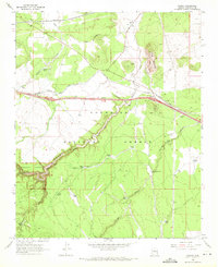
1968 Map of Winona
USGS Topo · Published 1971About this map
Coconino National Forest and the deep incision of Walnut Canyon define this landscape east of Flagstaff during the late 1960s. The survey captures a vital transportation corridor where the Atchison Topeka and Santa Fe railroad and the Interstate 40 highway system (marked here as 40 66 180) parallel each other through high-altitude terrain. Small settlements and sidings like Cosnino, Winona, and Darling are situated along these transit lines, reflecting the area's role in connecting the Arizona interior.
Find a feature on this map
37 named features on this map. Tap any name to fly to it.
Don’t see what you’re looking for? This feature index may not catch every label — zoom into the map to look around manually.
Map Details
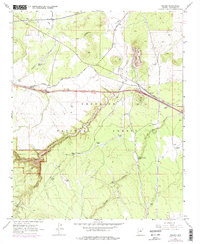
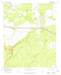
Editions of this 1968 Winona Map
3 editions found
Other maps of this area

1886 · San Francisco Mtns
USGS Topo · 1:250,000

1891 · San Francisco Mtns
USGS Topo · 1:250,000

1894 · San Francisco Mtns
USGS Topo · 1:250,000

1899 · San Francisco Mtns
USGS Topo · 1:250,000

1908 · Flagstaff
USGS Topo · 1:125,000

1912 · Flagstaff
USGS Topo · 1:125,000

1947 · Flagstaff
USGS Topo · 1:250,000

1954 · Flagstaff
USGS Topo · 1:250,000

1958 · Flagstaff
USGS Topo · 1:250,000

1960 · Flagstaff
USGS Topo · 1:250,000