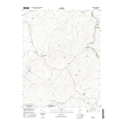
2016 Map of Winona
USGS Topo · Published 2016About this map
The Meadow River carves a significant path through the northeastern corner of this territory, defining the borders between Nicholas, Greenbrier, and Fayette Counties. This highland landscape is marked by prominent ridges such as Miller Ridge and Propps Ridge, with the central settlement of Lookout situated near a geographic high point labeled The Divide. The southern portion of the map transitions into the protected lands of the New River Gorge National River, where the terrain drops toward Manns Creek.
Find a feature on this map
87 named features on this map. Tap any name to fly to it.
Don’t see what you’re looking for? This feature index may not catch every label — zoom into the map to look around manually.
Map Details
Editions of this 2016 Winona Map
This is the sole edition of this map. No revisions or reprints were ever made.
Other maps of this area

1887 · Hinton
USGS Topo · 1:125,000

1889 · Nicholas
USGS Topo · 1:125,000

1891 · Nicholas
USGS Topo · 1:125,000

1891 · Raleigh
USGS Topo · 1:125,000

1892 · Hinton
USGS Topo · 1:125,000

1897 · Kanawha Falls
USGS Topo · 1:125,000

1897 · Raleigh
USGS Topo · 1:125,000

1900 · Kanawha Falls
USGS Topo · 1:125,000

1901 · Nicholas
USGS Topo · 1:125,000

1901 · Kanawha Falls
USGS Topo · 1:125,000