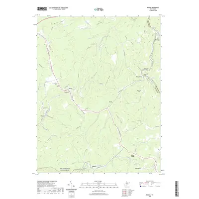
2019 Map of Winona
USGS Topo · Published 2019About this map
The Meadow River carves through the landscape of the New River Gorge National River in this survey of eastern Fayette County. The map details a transition from river-bottom settlements like Nallen and Russellville to high ridge communities including Lookout and Clifftop. Transportation history is evident along the Meadow River Rail-Trail, which follows the winding river course along the boundary with Nicholas and Greenbrier Counties. Local genealogy is well-represented by several family-named landmarks and burial sites, such as the Jennette Cem near Spy Rock and the Amick Cem in the southern portion of the sheet. The landscape is defined by its dramatic relief, where The Divide and Hogpen Ridge overlook numerous tributaries like Brackens Cr and Keeney Cr. Educational history is preserved through the location of the Flannigan School near Winona.
Find a feature on this map
85 named features on this map. Tap any name to fly to it.
Don’t see what you’re looking for? This feature index may not catch every label — zoom into the map to look around manually.
Map Details
Editions of this 2019 Winona Map
This is the sole edition of this map. No revisions or reprints were ever made.
Other maps of this area

1887 · Hinton
USGS Topo · 1:125,000

1889 · Nicholas
USGS Topo · 1:125,000

1891 · Nicholas
USGS Topo · 1:125,000

1891 · Raleigh
USGS Topo · 1:125,000

1892 · Hinton
USGS Topo · 1:125,000

1897 · Kanawha Falls
USGS Topo · 1:125,000

1897 · Raleigh
USGS Topo · 1:125,000

1900 · Kanawha Falls
USGS Topo · 1:125,000

1901 · Nicholas
USGS Topo · 1:125,000

1901 · Kanawha Falls
USGS Topo · 1:125,000