
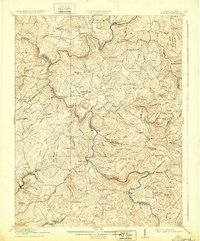
1916 Map of Winona
USGS Topo · Published 1916About this map
Gauley River and Meadow River carve deep, winding paths through this central West Virginia landscape, defining the borders between Nicholas, Greenbrier, and Fayette Counties. The map reveals an early 20th-century upland economy built on timber and transit, marked by crossings like Carnifex Ferry and the Hughes Ferry Bridge. Small rural centers such as Winona and Kesslers Crosslanes are surrounded by a dense network of neighborhood institutions, including the Blacks Chapel School & Ch and Gilgal School.
Find a feature on this map
126 named features on this map. Tap any name to fly to it.
Don’t see what you’re looking for? This feature index may not catch every label — zoom into the map to look around manually.
Map Details
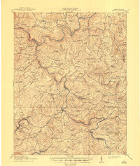
Editions of this 1916 Winona Map
3 editions found
Other maps of this area

1887 · Hinton
USGS Topo · 1:125,000

1889 · Nicholas
USGS Topo · 1:125,000

1891 · Nicholas
USGS Topo · 1:125,000

1891 · Raleigh
USGS Topo · 1:125,000

1892 · Hinton
USGS Topo · 1:125,000

1897 · Kanawha Falls
USGS Topo · 1:125,000

1897 · Raleigh
USGS Topo · 1:125,000

1900 · Kanawha Falls
USGS Topo · 1:125,000

1901 · Nicholas
USGS Topo · 1:125,000

1901 · Kanawha Falls
USGS Topo · 1:125,000