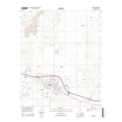
2014 Map of Winslow
USGS Topo · Published 2014About this map
The Little Colorado River winds through the eastern edge of this northern Arizona landscape, providing a stark geographic boundary for the city of Winslow. By this era, the town is established as a regional hub, flanked by residential extensions like Bushman Acres and West Winslow. The infrastructure of the mid-20th century is evident in the sprawling Winslow-Lindbergh Regional Airport and the network of local roads such as Mikes Pike Blvd and Coopertown Rd. North of the settlement, the terrain transitions into a series of mesas and divides, notably Tucker Mesa and the Toltec Divide, while the Cottonwood Wash Bridge marks the southern crossing. The presence of Sunset Cem and Whipple Memorial Park provides touchstones for local genealogists and family historians researching the community's development along the historic rail and road corridors.
Find a feature on this map
90 named features on this map. Tap any name to fly to it.
Don’t see what you’re looking for? This feature index may not catch every label — zoom into the map to look around manually.
Map Details
Editions of this 2014 Winslow Map
This is the sole edition of this map. No revisions or reprints were ever made.
Other maps of this area

1883 · Tusayan
USGS Topo · 1:250,000

1886 · Tusayan
USGS Topo · 1:250,000

1886 · Holbrook
USGS Topo · 1:250,000

1893 · Holbrook
USGS Topo · 1:250,000

1947 · Flagstaff
USGS Topo · 1:250,000

1954 · Winslow
USGS Topo · 1:62,500

1954 · Winslow 4 NW
USGS Topo · 1:24,000

1954 · Winslow 4 SW
USGS Topo · 1:24,000

1954 · Winslow 4 SE
USGS Topo · 1:24,000

1954 · Winslow 4 NE
USGS Topo · 1:24,000