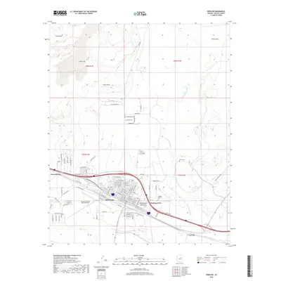
2018 Map of Winslow
USGS Topo · Published 2018About this map
Winslow serves as the primary hub in this High Desert landscape, situated along the path of the Little Colorado River and the historical Old W Hwy 66. The settlement pattern reflects the mid-to-late 20th-century expansion of the city, with residential developments like Bushman Acres and West Winslow framing the central urban grid. Infrastructure is a defining element of the area, notably the Winslow-Lindbergh Regional Airport and educational facilities like the Northland Pioneer College Little Colorado Campus.
Find a feature on this map
80 named features on this map. Tap any name to fly to it.
Don’t see what you’re looking for? This feature index may not catch every label — zoom into the map to look around manually.
Map Details
Editions of this 2018 Winslow Map
This is the sole edition of this map. No revisions or reprints were ever made.
Other maps of this area

1883 · Tusayan
USGS Topo · 1:250,000

1886 · Tusayan
USGS Topo · 1:250,000

1886 · Holbrook
USGS Topo · 1:250,000

1893 · Holbrook
USGS Topo · 1:250,000

1947 · Flagstaff
USGS Topo · 1:250,000

1954 · Winslow
USGS Topo · 1:62,500

1954 · Winslow 4 NW
USGS Topo · 1:24,000

1954 · Winslow 4 SW
USGS Topo · 1:24,000

1954 · Winslow 4 SE
USGS Topo · 1:24,000

1954 · Winslow 4 NE
USGS Topo · 1:24,000