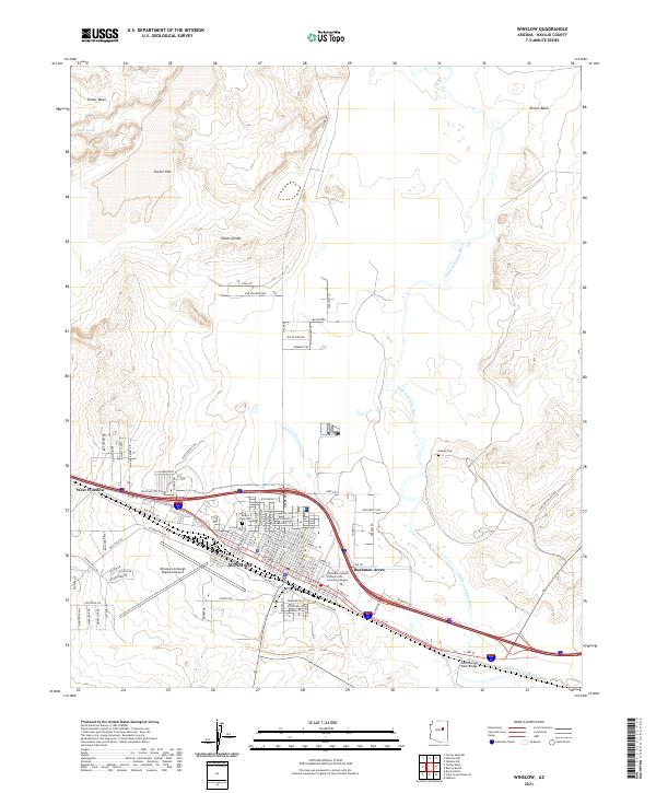
2021 Map of Winslow
USGS Topo · Published 2021About this map
Winslow sits at a geographic crossroads in Navajo County where the high desert terrain meets the corridor of the Little Colorado River. The landscape is defined by its transition from the mesas to the north, such as Tucker Mesa and Toltec Divide, down to the river basin. The urban layout reflects a history deeply tied to transportation, from the presence of Old W Hwy 66 and the modern interstate to the sprawling infrastructure of the Winslow-Lindbergh Regional Airport. Cultural and educational landmarks like the Northland Pioneer College Little Colorado Campus and the Desert View Cem are clearly detailed alongside residential developments that expand toward West Winslow. The map also captures significant drainage features including Cottonwood Wash and its associated Cottonwood Wash Bridge, illustrating how the community manages the arid environment and seasonal water flows.
Find a feature on this map
60 named features on this map. Tap any name to fly to it.
Don’t see what you’re looking for? This feature index may not catch every label — zoom into the map to look around manually.
Map Details
Editions of this 2021 Winslow Map
This is the sole edition of this map. No revisions or reprints were ever made.
Other maps of this area

1883 · Tusayan
USGS Topo · 1:250,000

1886 · Tusayan
USGS Topo · 1:250,000

1886 · Holbrook
USGS Topo · 1:250,000

1893 · Holbrook
USGS Topo · 1:250,000

1947 · Flagstaff
USGS Topo · 1:250,000

1954 · Winslow
USGS Topo · 1:62,500

1954 · Winslow 4 NW
USGS Topo · 1:24,000

1954 · Winslow 4 SW
USGS Topo · 1:24,000

1954 · Winslow 4 SE
USGS Topo · 1:24,000

1954 · Winslow 4 NE
USGS Topo · 1:24,000