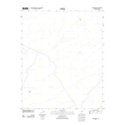
2011 Map of Winslow NE
USGS Topo · Published 2011About this map
Ives Mesa and the surrounding high desert terrain define this area north of Winslow in the early 21st century. The landscape is characterized by its broad drainage patterns and significant topographical depressions, most notably the Rincon Basin in the southwest corner. As part of the Navajo Nation and Fort Defiance Agency lands, the map reveals a sparsely settled region where a few improved roads and numerous unimproved tracks navigate the arid expanse. This survey, compiled from 2010 imagery, captures the modern state of the high plateau, showing how local geography dictates the paths of travel through this part of Navajo County.
Find a feature on this map
2 named features on this map. Tap any name to fly to it.
Don’t see what you’re looking for? This feature index may not catch every label — zoom into the map to look around manually.
Map Details
Editions of this 2011 Winslow NE Map
This is the sole edition of this map. No revisions or reprints were ever made.
Other maps of this area

1883 · Tusayan
USGS Topo · 1:250,000

1886 · Tusayan
USGS Topo · 1:250,000

1947 · Flagstaff
USGS Topo · 1:250,000

1954 · Winslow
USGS Topo · 1:62,500

1954 · Winslow 4 NW
USGS Topo · 1:24,000

1954 · Winslow 4 SW
USGS Topo · 1:24,000

1954 · Winslow 4 SE
USGS Topo · 1:24,000

1954 · Winslow 4 NE
USGS Topo · 1:24,000

1954 · Flagstaff
USGS Topo · 1:250,000

1955 · Mal Pais Springs 3 SW
USGS Topo · 1:24,000