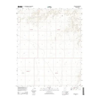
2014 Map of Winslow NE
USGS Topo · Published 2014About this map
Ives Mesa and the wide Rincon Basin define the high-desert landscape in this portion of the Arizona-Navajo county border region. This 2014 survey captures a remote expanse of the high plateau, illustrating the natural drainage patterns and topographical contours that shape the land north of the Little Colorado River valley. A small segment of Az-87 clips the southeastern corner of the quadrangle, representing the primary modern transit link through this sparsely settled territory. The map provides a precise layout of the Public Land Survey System grid, including the intersection of Township 21 North, Range 16 East, Range 17 East, and the northern sections of Township 20 North, which is essential for identifying specific grazing allotments and property boundaries in this open range country.
Find a feature on this map
7 named features on this map. Tap any name to fly to it.
Don’t see what you’re looking for? This feature index may not catch every label — zoom into the map to look around manually.
Map Details
Editions of this 2014 Winslow NE Map
This is the sole edition of this map. No revisions or reprints were ever made.
Other maps of this area

1883 · Tusayan
USGS Topo · 1:250,000

1886 · Tusayan
USGS Topo · 1:250,000

1947 · Flagstaff
USGS Topo · 1:250,000

1954 · Winslow
USGS Topo · 1:62,500

1954 · Winslow 4 NW
USGS Topo · 1:24,000

1954 · Winslow 4 SW
USGS Topo · 1:24,000

1954 · Winslow 4 SE
USGS Topo · 1:24,000

1954 · Winslow 4 NE
USGS Topo · 1:24,000

1954 · Flagstaff
USGS Topo · 1:250,000

1955 · Mal Pais Springs 3 SW
USGS Topo · 1:24,000