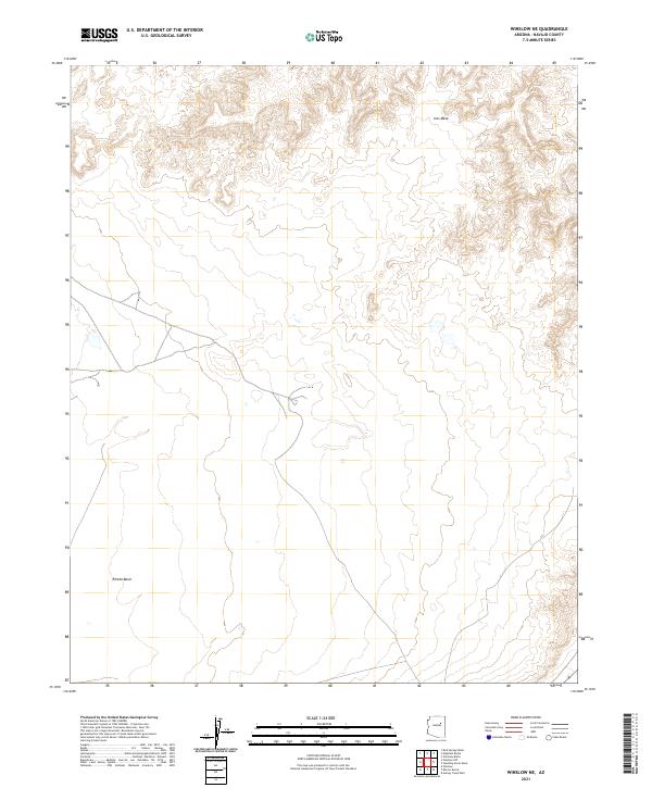
2021 Map of Winslow NE
USGS Topo · Published 2021About this map
Ives Mesa and the surrounding high desert terrain define this landscape in the Navajo County backcountry. This contemporary topographic record showcases the land management divisions of the Public Land Survey System, including t21n r16e, t21n r17e, t20n r16e, and t20n r17e, which trace the jurisdictional layout of the Arizona wilderness. The geography is characterized by dramatic shifts in elevation, transitioning from the plateau heights of the mesa down into the Rincon Basin. These natural depressions and elevated landforms reflect the complex erosion patterns typical of the region's geologic history, providing a clear view of the drainage and relief across these four distinct townships.
Find a feature on this map
6 named features on this map. Tap any name to fly to it.
Don’t see what you’re looking for? This feature index may not catch every label — zoom into the map to look around manually.
Map Details
Editions of this 2021 Winslow NE Map
This is the sole edition of this map. No revisions or reprints were ever made.
Other maps of this area

1883 · Tusayan
USGS Topo · 1:250,000

1886 · Tusayan
USGS Topo · 1:250,000

1947 · Flagstaff
USGS Topo · 1:250,000

1954 · Winslow
USGS Topo · 1:62,500

1954 · Winslow 4 NW
USGS Topo · 1:24,000

1954 · Winslow 4 SW
USGS Topo · 1:24,000

1954 · Winslow 4 SE
USGS Topo · 1:24,000

1954 · Winslow 4 NE
USGS Topo · 1:24,000

1954 · Flagstaff
USGS Topo · 1:250,000

1955 · Mal Pais Springs 3 SW
USGS Topo · 1:24,000