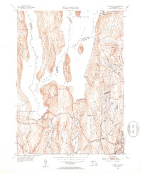
1952 Map of Winsor Dam
USGS Topo · Published 1953About this map
Quabbin Reservoir dominates this landscape, reflecting the massive engineering changes of the mid-20th century in Central Massachusetts. This survey captures the area following the flooding of the Swift River Valley, showing the prominent Prescott Peninsula and islands like Little Quabbin that were once high ridges. Infrastructure critical to the metropolitan water supply is clearly marked, including the primary Winsor Dam, the Quabbin Dike, and the start of the Quabbin Aqueduct.
Find a feature on this map
41 named features on this map. Tap any name to fly to it.
Don’t see what you’re looking for? This feature index may not catch every label — zoom into the map to look around manually.
Map Details
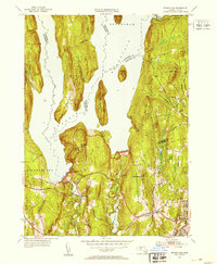
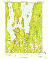
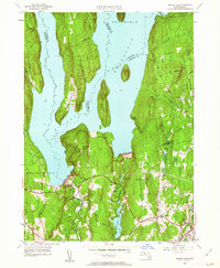
Editions of this 1952 Winsor Dam Map
4 editions found
Other maps of this area

1887 · Brookfield
USGS Topo · 1:62,500

1887 · Palmer
USGS Topo · 1:62,500

1887 · Belchertown
USGS Topo · 1:62,500

1887 · Barre
USGS Topo · 1:62,500

1889 · Palmer
USGS Topo · 1:62,500

1889 · Barre
USGS Topo · 1:62,500

1890 · Belchertown
USGS Topo · 1:62,500

1890 · Brookfield
USGS Topo · 1:62,500

1893 · Palmer
USGS Topo · 1:62,500

1893 · Belchertown
USGS Topo · 1:62,500