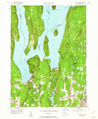
1952 Map of Winsor Dam
USGS Topo · Published 1962About this map
Winsor Dam and the massive Quabbin Dike dominate this landscape, representing the southern engineered terminus of the Quabbin Reservoir. Completed just over a decade before this revision, the reservoir flooded several valley towns to provide water for Boston, leaving the Prescott Peninsula as a restricted interior wilderness. The map captures the infrastructure of this transformation, from the Quabbin Aqueduct to the Quabbin Park Cemetery, which was established to hold remains relocated from the inundated valley.
Find a feature on this map
58 named features on this map. Tap any name to fly to it.
Don’t see what you’re looking for? This feature index may not catch every label — zoom into the map to look around manually.
Map Details
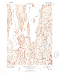
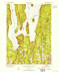
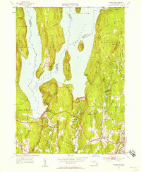
Editions of this 1952 Winsor Dam Map
4 editions found
Other maps of this area

1887 · Brookfield
USGS Topo · 1:62,500

1887 · Palmer
USGS Topo · 1:62,500

1887 · Belchertown
USGS Topo · 1:62,500

1887 · Barre
USGS Topo · 1:62,500

1889 · Palmer
USGS Topo · 1:62,500

1889 · Barre
USGS Topo · 1:62,500

1890 · Belchertown
USGS Topo · 1:62,500

1890 · Brookfield
USGS Topo · 1:62,500

1893 · Palmer
USGS Topo · 1:62,500

1893 · Belchertown
USGS Topo · 1:62,500