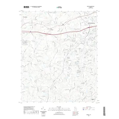
2020 Map of Winston
USGS Topo · Published 2020About this map
The Dog River drainage system dominates this area of West Georgia, defining the landscape between the growing outskirts of Douglasville and Villa Rica. This 2020 record captures a transition from suburban corridors along Highway 78 to the more open, creek-carved terrain of southern Douglas County. The map shows several distinct settlements, including Winston, White City, and Chattahoochee Hills, alongside numerous family-named water bodies like Thurmon Lake and Barnett Lake. Notable for local researchers is the documentation of Fouts Mill and Hunter Memorial Park, which provide clear anchors for understanding historical land use and community centers in this region. The terrain is marked by significant elevations like Andy Mtn and Cedar Mtn, while a complex network of named roads, such as Ephesus Church Rd, suggests the deep-rooted locations of early community landmarks and churches.
Find a feature on this map
246 named features on this map. Tap any name to fly to it.
Don’t see what you’re looking for? This feature index may not catch every label — zoom into the map to look around manually.
Map Details
Editions of this 2020 Winston Map
This is the sole edition of this map. No revisions or reprints were ever made.
Other maps of this area

1891 · Marietta
USGS Topo · 1:125,000

1895 · Marietta
USGS Topo · 1:125,000

1897 · Marietta
USGS Topo · 1:125,000

1901 · Marietta
USGS Topo · 1:125,000

1953 · Atlanta
USGS Topo · 1:250,000

1954 · Palmetto
USGS Topo · 1:24,000

1954 · Campbellton
USGS Topo · 1:24,000

1954 · Austell
USGS Topo · 1:24,000

1957 · Atlanta
USGS Topo · 1:250,000

1958 · Rico
USGS Topo · 1:24,000