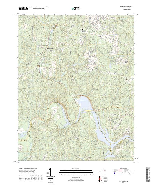
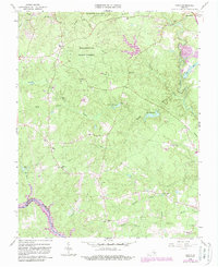
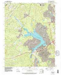
2022 Map of Winterpock
USGS Topo · Published 2022About this map
Winterpock serves as a central landmark in this portion of Chesterfield County, situated amidst a dense network of suburban development and historical landmarks. The landscape is defined by its proximity to the Appomattox River and the expansive Lake Chesdin, which dominates the southern boundary. Significant genealogical and community sites are scattered throughout the region, including the Bethia United Methodist Church Cem and the Second Branch Baptist Church Cem.
Find a feature on this map
95 named features on this map. Tap any name to fly to it.
Don’t see what you’re looking for? This feature index may not catch every label — zoom into the map to look around manually.
Map Details
Editions of this 2022 Winterpock Map
This is the sole edition of this map. No revisions or reprints were ever made.
Historical Maps of Winterpock Through Time
38 maps found
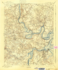
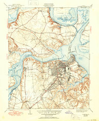
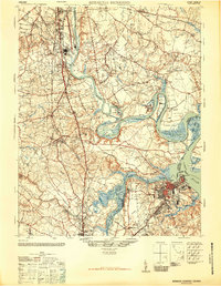
1894 Bermuda Hundred
Chesterfield County, VA

1938 Drewrys Bluff
Chesterfield County, VA

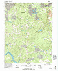
1943 Beach
Chesterfield County, VA
1943 Chesterfield
Chesterfield County, VA

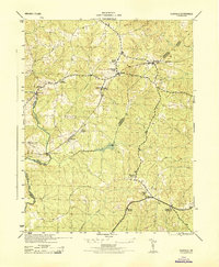
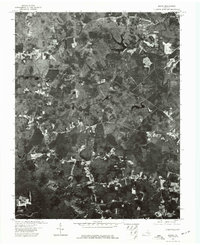
1943 Clayville
Chesterfield County, VA
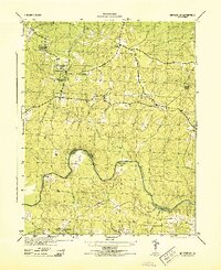
1943 Hallsboro
Chesterfield County, VA
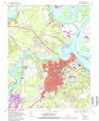
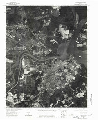
1943 Hopewell
Chesterfield County, VA

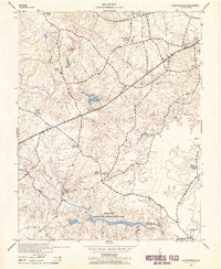
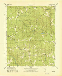
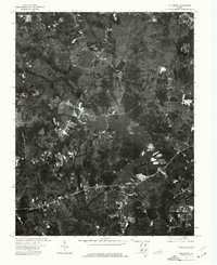
1943 Winterpock
Chesterfield County, VA
1944 Beach
Chesterfield County, VA
1944 Clayville
Chesterfield County, VA
1944 Winterpock
Chesterfield County, VA
1946 Bermuda Hundred
Chesterfield County, VA
1952 Drewrys Bluff
Chesterfield County, VA
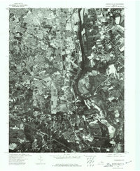
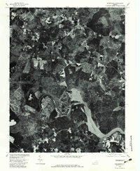
1952 Hopewell
Chesterfield County, VA
1963 Beach
Chesterfield County, VA
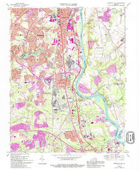
1963 Chesterfield
Chesterfield County, VA
1963 Hallsboro
Chesterfield County, VA
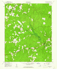
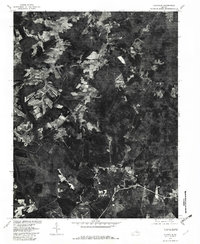
1963 Winterpock
Chesterfield County, VA
1964 Clayville
Chesterfield County, VA
1969 Drewrys Bluff
Chesterfield County, VA
1969 Hopewell
Chesterfield County, VA
1974 Beach
Chesterfield County, VA
1974 Drewrys Bluff
Chesterfield County, VA
1974 Hallsboro
Chesterfield County, VA
1974 Hopewell
Chesterfield County, VA
1979 Clayville
Chesterfield County, VA
1979 Winterpock
Chesterfield County, VA
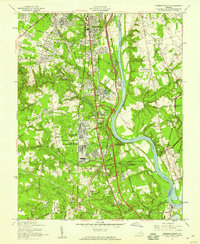
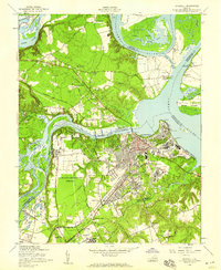
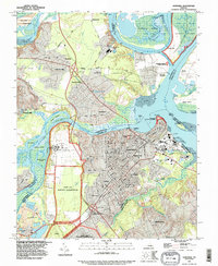
1984 Petersburg
Chesterfield County, VA
1994 Beach
Chesterfield County, VA
1994 Hallsboro
Chesterfield County, VA
1994 Hopewell
Chesterfield County, VA
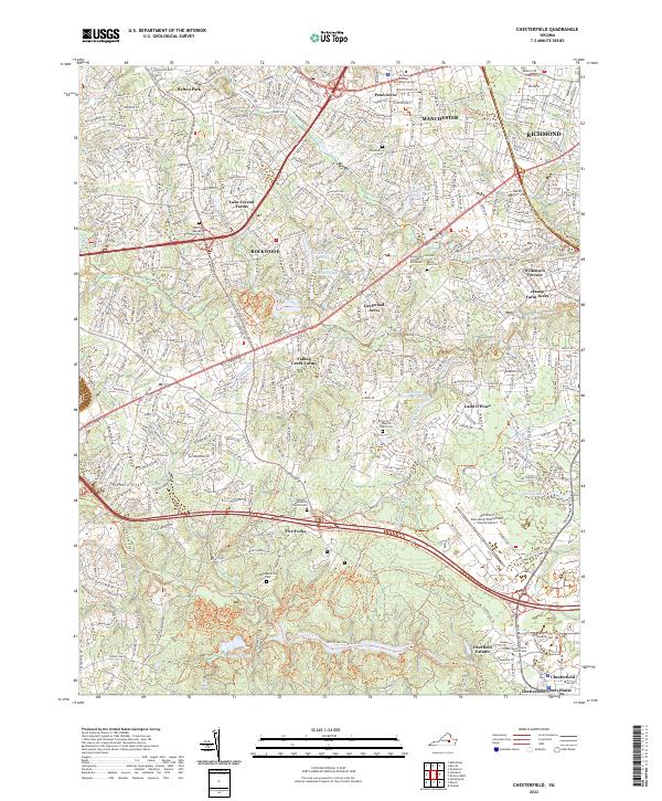
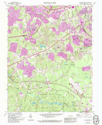
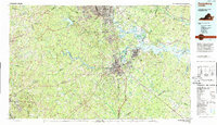
2022 Chesterfield
Chesterfield County, VA
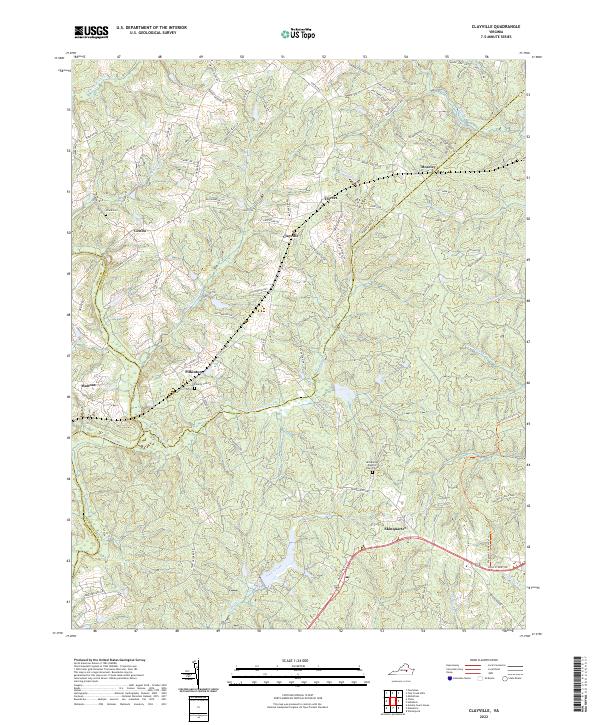
2022 Clayville
Chesterfield County, VA
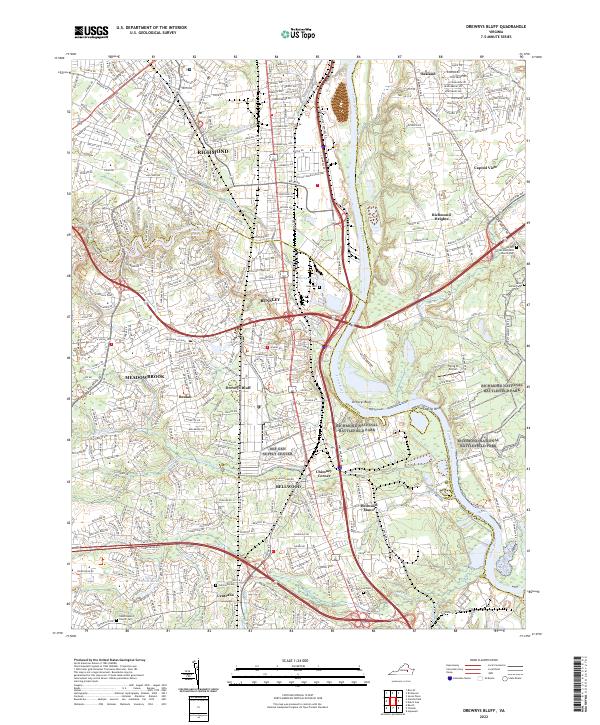
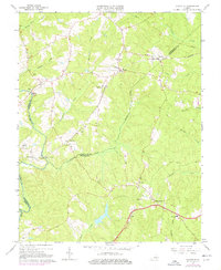
2022 Drewrys Bluff
Chesterfield County, VA
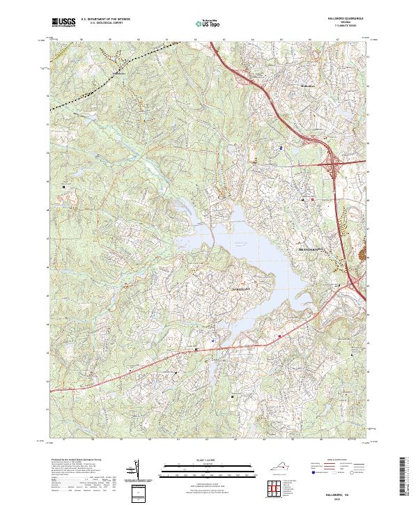
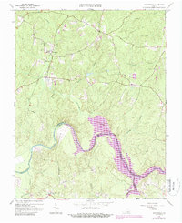
2022 Hallsboro
Chesterfield County, VA
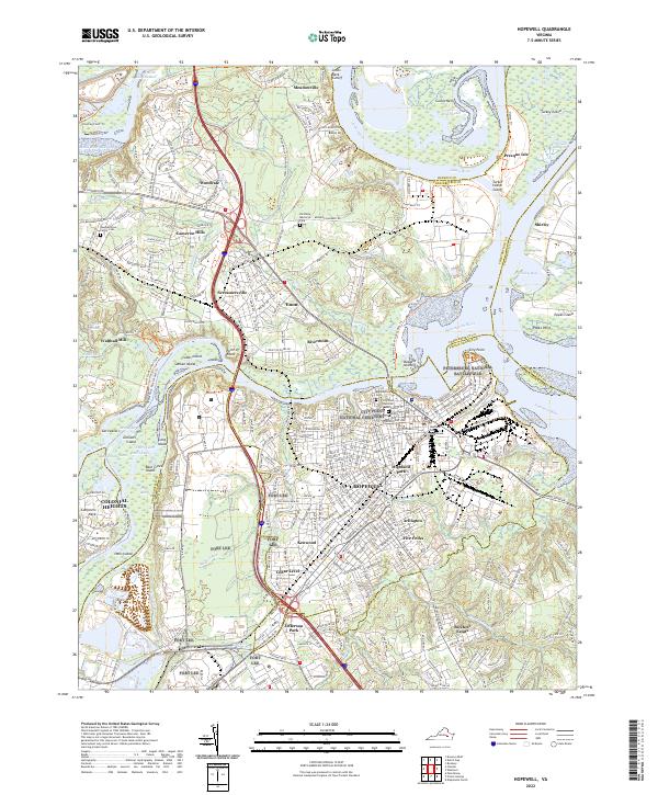
2022 Hopewell
Chesterfield County, VA
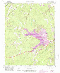
2022 Winterpock
Chesterfield County, VA
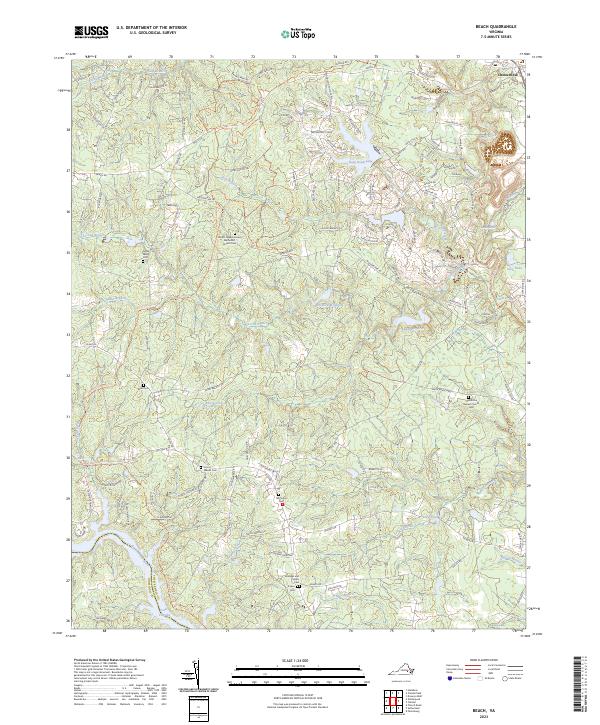
2023 Beach
Chesterfield County, VA