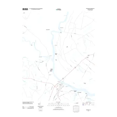
2013 Map of Winton
USGS Topo · Published 2013About this map
The Chowan River and its many landings anchor this corner of Hertford County, defining the local geography through a network of water-based access points. Winton serves as a primary settlement along the river's southern bank, where streets like Metcalf St and N Main St meet the shoreline near the mouth of Folley Br. The landscape is a complex system of tributaries, including Potecasi Cr, Meherrin River, and Liverman Cr, which historically facilitated timber and agricultural transport.
Find a feature on this map
72 named features on this map. Tap any name to fly to it.
Don’t see what you’re looking for? This feature index may not catch every label — zoom into the map to look around manually.
Map Details
Editions of this 2013 Winton Map
This is the sole edition of this map. No revisions or reprints were ever made.
Other maps of this area

1908 · Winton
USGS Topo · 1:62,500

1919 · Boykins
USGS Topo · 1:48,000

1920 · Holland
USGS Topo · 1:62,500

1920 · Boykins
USGS Topo · 1:62,500

1943 · Holland
USGS Topo · 1:62,500

1953 · Norfolk
USGS Topo · 1:250,000

1957 · Holland
USGS Topo · 1:62,500

1966 · Sunbeam
USGS Topo · 1:24,000
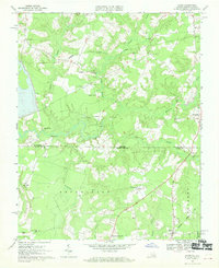
1967 · Gates
USGS Topo · 1:24,000
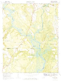
1967 · Riverdale
USGS Topo · 1:24,000