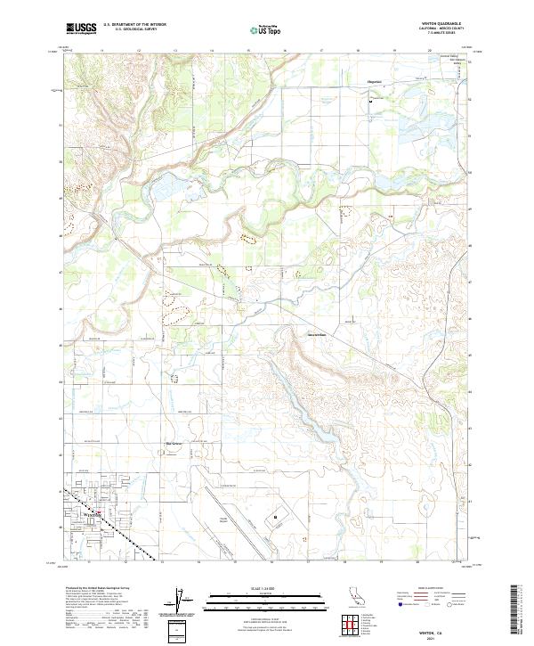
2021 Map of Winton
USGS Topo · Published 2021About this map
The Merced River meanders across the northern portion of this Central Valley landscape, creating a complex network of wetlands and waterways including Hopeton Slough and Ingalsbe Slough. This region in the San Joaquin Valley is defined by an intricate system of agricultural irrigation, with numerous named waterways such as the Escaladian Shaw Canal, King Lateral, and Arundel Lateral serving the surrounding fields.
Find a feature on this map
66 named features on this map. Tap any name to fly to it.
Don’t see what you’re looking for? This feature index may not catch every label — zoom into the map to look around manually.
Map Details
Editions of this 2021 Winton Map
This is the sole edition of this map. No revisions or reprints were ever made.
Other maps of this area

1893 · Sonora
USGS Topo · 1:125,000

1896 · Sonora
USGS Topo · 1:125,000

1897 · Sonora
USGS Topo · 1:125,000

1898 · Sonora
USGS Topo · 1:125,000

1913 · Dickenson
USGS Topo · 1:31,680

1914 · Merced
USGS Topo · 1:31,680

1916 · Three Tree Flat
USGS Topo · 1:31,680

1916 · Hopeton
USGS Topo · 1:31,680

1916 · Cressey
USGS Topo · 1:31,680

1916 · Montpellier
USGS Topo · 1:31,680