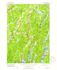
1957 Map of Wiscasset
USGS Topo · Published 1959About this map
The Sheepscot River and Damariscotta River carve through this coastal Maine landscape, defining a network of tidal flats and inland waterways. In the mid-1950s, the region maintained a rural character centered around small hamlets such as Head Tide and Dresden Mills. Local history is deeply etched into the hills and valleys, from the St Denis Ch near North Whitefield to the many family-named cemeteries like Goodspeed Cem and Huntoon Cem.
Find a feature on this map
108 named features on this map. Tap any name to fly to it.
Don’t see what you’re looking for? This feature index may not catch every label — zoom into the map to look around manually.
Map Details
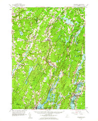
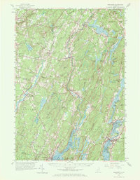
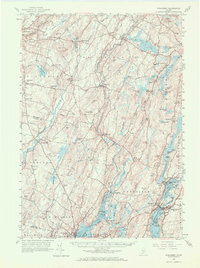
Editions of this 1957 Wiscasset Map
4 editions found
Other maps of this area

1892 · Gardiner
USGS Topo · 1:62,500

1892 · Augusta
USGS Topo · 1:62,500

1893 · Vassalboro
USGS Topo · 1:62,500

1893 · Wiscasset
USGS Topo · 1:62,500

1893 · Boothbay
USGS Topo · 1:62,500

1894 · Bath
USGS Topo · 1:62,500

1898 · Vassalboro
USGS Topo · 1:62,500

1904 · Monhegan
USGS Topo · 1:62,500

1906 · Monhegan
USGS Topo · 1:62,500

1913 · Waldoboro
USGS Topo · 1:48,000