
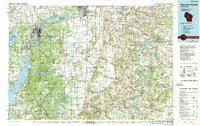
1985 Map of Wisconsin Rapids
USGS Topo · Published 1985About this map
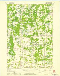
The Wisconsin River serves as the central spine of this 1980s landscape, connecting industrial hubs like Wisconsin Rapids and Stevens Point with the massive impoundments of Petenwell Lake and Castle Rock Lake. The region is defined by a dense network of drainage ditches, such as Ditch No. 1 and Ditch No. 4, which turned formerly marshy terrain into productive agricultural land. These systematic alterations to the water table are seen alongside significant conservation areas, including the Colburn State Wildlife Area and Leola Marsh State Wildlife Areas.
Find a feature on this map
107 named features on this map. Tap any name to fly to it.
Don’t see what you’re looking for? This feature index may not catch every label — zoom into the map to look around manually.
Map Details
Editions of this 1985 Wisconsin Rapids Map
2 editions found
Other maps of this area

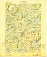
1915 · Neshkoro
USGS Topo · 1:48,000

1916 · Ripon
USGS Topo · 1:48,000
1918 · Neshkoro
USGS Topo · 1:62,500

1918 · Ripon
USGS Topo · 1:62,500

1921 · Mauston
USGS Topo · 1:62,500

1953 · Eau Claire
USGS Topo · 1:250,000
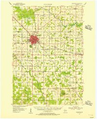
1954 · Marshfield
USGS Topo · 1:62,500
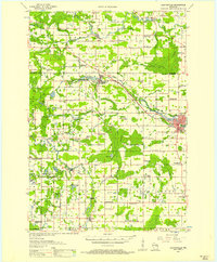
1955 · Clintonville
USGS Topo · 1:48,000

1955 · Tigerton
USGS Topo · 1:48,000
1955 · Rosholt
USGS Topo · 1:48,000