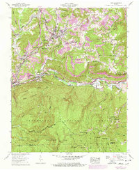
1957 Map of Wise
USGS Topo · Published 1978About this map
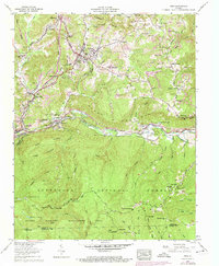
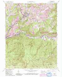
Wise and the surrounding coal country of the Cumberland Plateau are defined by the intensive presence of strip mines that weave through the ridges north of the Guest River. This 1950s landscape, later updated in the 1970s, illustrates the institutional growth of the region with the establishment of Clinch Valley College (Univ of Virginia) and the Wise County Memorial Hospital. The southern half of the map shifts abruptly into the protected wilderness of the Jefferson National Forest and the Glades Wildlife Management Area, where high-elevation landmarks like Eagle Knob and Osborn Rock overlook the forested slopes. Transport and recreation of the era are visible in the L & N RR rail lines, the High Knob Recreation Area, and even a local drive-in theater located near Ramsey. Family history is deeply rooted here, evidenced by dozens of small burial grounds such as Stallard Cem and Beverly Cem near the Berry Chapel.
Find a feature on this map
106 named features on this map. Tap any name to fly to it.
Don’t see what you’re looking for? This feature index may not catch every label — zoom into the map to look around manually.
Map Details
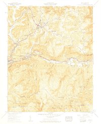
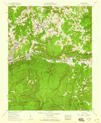
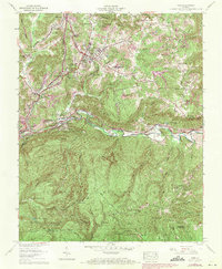
Editions of this 1957 Wise Map
6 editions found
Other maps of this area

1886 · Grundy
USGS Topo · 1:125,000

1890 · Whitesburg
USGS Topo · 1:125,000

1890 · Grundy
USGS Topo · 1:125,000

1892 · Grundy
USGS Topo · 1:125,000

1892 · Whitesburg
USGS Topo · 1:125,000

1894 · Estillville
USGS Topo · 1:125,000

1897 · Bristol
USGS Topo · 1:125,000

1902 · Bristol
USGS Topo · 1:125,000

1912 · Pound
USGS Topo · 1:48,000

1913 · Clintwood
USGS Topo · 1:62,500