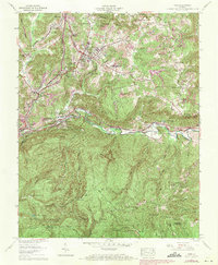
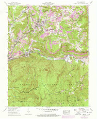
1957 Map of Wise
USGS Topo · Published 1971About this map
Wise serves as a central hub on this 1957 map, showing the growth of the community and the establishment of Clinch Valley College (Univ of Virginia). The landscape is defined by the heavy footprint of industry and public lands, with numerous strip mines dotting the ridges north of the Guest River. Significant educational and civic infrastructure appears, including the Kelly Sch and the Wise County Industrial School, while the Wise County Memorial Hospital stands as a local landmark.
Find a feature on this map
86 named features on this map. Tap any name to fly to it.
Don’t see what you’re looking for? This feature index may not catch every label — zoom into the map to look around manually.
Map Details
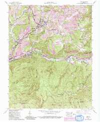
Editions of this 1957 Wise Map
6 editions found
Other maps of this area

1886 · Grundy
USGS Topo · 1:125,000

1890 · Whitesburg
USGS Topo · 1:125,000

1890 · Grundy
USGS Topo · 1:125,000

1892 · Grundy
USGS Topo · 1:125,000

1892 · Whitesburg
USGS Topo · 1:125,000

1894 · Estillville
USGS Topo · 1:125,000

1897 · Bristol
USGS Topo · 1:125,000

1902 · Bristol
USGS Topo · 1:125,000

1912 · Pound
USGS Topo · 1:48,000

1913 · Clintwood
USGS Topo · 1:62,500