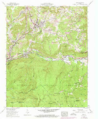
1957 Map of Wise
USGS Topo · Published 1974About this map
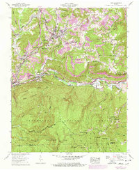
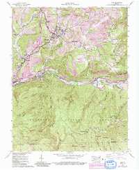
The town of Wise sits at the northern edge of this topographical study, serving as a hub where Yellow Creek and Glade Creek meet amidst a landscape heavily marked by industrial activity. Extensive strip mines dominate the ridges to the north and east, contrasting with the institutional development of Clinch Valley College and the Wise County Memorial Hospital. The southern half of the map shifts dramatically into the protected reaches of the Jefferson National Forest and the Glades Wildlife Management Area, characterized by the high elevations of Pickem Mountain and Guest Mountain. Significant transportation infrastructure, including the Interstate RR and the Lonesome Pine Trail Western, follows the winding course of the Guest River, linking smaller settlements like Esserville, Ramsey, and Tacoma. Local family history is preserved through dozens of small burial grounds, such as Hillman Cem and Easterling Cem, scattered throughout the narrow hollows.
Find a feature on this map
96 named features on this map. Tap any name to fly to it.
Don’t see what you’re looking for? This feature index may not catch every label — zoom into the map to look around manually.
Map Details
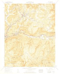
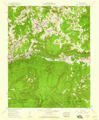
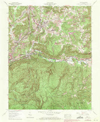
Editions of this 1957 Wise Map
6 editions found
Other maps of this area

1886 · Grundy
USGS Topo · 1:125,000

1890 · Whitesburg
USGS Topo · 1:125,000

1890 · Grundy
USGS Topo · 1:125,000

1892 · Grundy
USGS Topo · 1:125,000

1892 · Whitesburg
USGS Topo · 1:125,000

1894 · Estillville
USGS Topo · 1:125,000

1897 · Bristol
USGS Topo · 1:125,000

1902 · Bristol
USGS Topo · 1:125,000

1912 · Pound
USGS Topo · 1:48,000

1913 · Clintwood
USGS Topo · 1:62,500