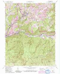
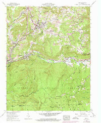
1957 Map of Wise
USGS Topo · Published 1992About this map
The town of Wise and the surrounding coal country of Wise County are defined by a complex intersection of industry and topography. This mid-century survey documents a landscape transformed by extensive extractive activity, with numerous strip mines and reclaimed areas flanking the Guest Mountain range. The region's industrial heritage is further evidenced by coke ovens near Esserville and a dense network of mountain railroads, including the Interstate RR and the Norfolk and Western Ry.
Find a feature on this map
111 named features on this map. Tap any name to fly to it.
Don’t see what you’re looking for? This feature index may not catch every label — zoom into the map to look around manually.
Map Details
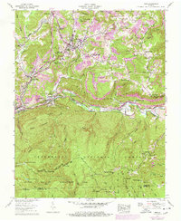
Editions of this 1957 Wise Map
6 editions found
Other maps of this area

1886 · Grundy
USGS Topo · 1:125,000

1890 · Whitesburg
USGS Topo · 1:125,000

1890 · Grundy
USGS Topo · 1:125,000

1892 · Grundy
USGS Topo · 1:125,000

1892 · Whitesburg
USGS Topo · 1:125,000

1894 · Estillville
USGS Topo · 1:125,000

1897 · Bristol
USGS Topo · 1:125,000

1902 · Bristol
USGS Topo · 1:125,000

1912 · Pound
USGS Topo · 1:48,000

1913 · Clintwood
USGS Topo · 1:62,500