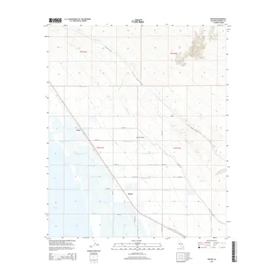
2015 Map of Wister
USGS Topo · Published 2015About this map
Imperial Valley agriculture and the managed hydrology of the Colorado River irrigation system define this 2015 landscape along the eastern edge of the Salton Sea. The map captures a sophisticated network of water infrastructure, including the massive Coachella Canal and E Highline Canal, alongside a grid-like system of smaller channels such as Niland Lateral Five and Z Lateral. These engineered waterways contrast with natural desert features like Iris Wash and the rising terrain of E Mesa to the east.
Find a feature on this map
36 named features on this map. Tap any name to fly to it.
Don’t see what you’re looking for? This feature index may not catch every label — zoom into the map to look around manually.
Map Details
Editions of this 2015 Wister Map
This is the sole edition of this map. No revisions or reprints were ever made.
Other maps of this area

1940 · Iris
USGS Topo · 1:62,500

1940 · Frink
USGS Topo · 1:62,500

1940 · Iris Pass
USGS Topo · 1:62,500

1944 · Calipatria
USGS Topo · 1:62,500

1944 · Frink
USGS Topo · 1:62,500

1945 · Iris Pass
USGS Topo · 1:62,500

1945 · Iris
USGS Topo · 1:62,500

1954 · Salton Sea
USGS Topo · 1:250,000

1955 · Salton Sea
USGS Topo · 1:250,000

1956 · Frink NW
USGS Topo · 1:24,000