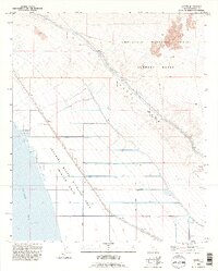
1992 Map of Wister
USGS Topo · Published 1995About this map
The Salton Sea shoreline and its surrounding desert irrigation network define this 1990s revision of Imperial County. The landscape is a stark study in resource management, dominated by the Imperial State Wildlife Area (Wister Unit) and an intricate system of water distribution including the Coachella Canal and East Highline Canal. These waterways feed a series of numbered laterals, from Niland Lateral 5 down to Niland Lateral U, which sustain the agricultural grid adjacent to the arid East Mesa. To the northeast, the terrain shifts abruptly as it enters the Chocolate Mountain Aerial Gunnery Range, a vast military reservation marked by a distinct Military Reservation Boundary. Small settlements like Wister and Iris appear as quiet outposts along the rail and road corridors, while a lone Quarry suggests the localized extraction of materials in this corner of the Colorado Desert.
Find a feature on this map
29 named features on this map. Tap any name to fly to it.
Don’t see what you’re looking for? This feature index may not catch every label — zoom into the map to look around manually.
Map Details
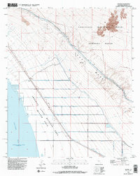
Editions of this 1992 Wister Map
2 editions found
Other maps of this area

1940 · Iris
USGS Topo · 1:62,500

1940 · Frink
USGS Topo · 1:62,500

1940 · Iris Pass
USGS Topo · 1:62,500

1944 · Calipatria
USGS Topo · 1:62,500

1944 · Frink
USGS Topo · 1:62,500

1945 · Iris Pass
USGS Topo · 1:62,500

1945 · Iris
USGS Topo · 1:62,500

1954 · Salton Sea
USGS Topo · 1:250,000

1955 · Salton Sea
USGS Topo · 1:250,000

1956 · Frink NW
USGS Topo · 1:24,000