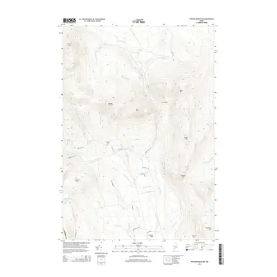
2014 Map of Witham Mountain
USGS Topo · Published 2014About this map
Lexington Flats serves as a focal point for this interior Maine landscape, where the confluence of several mountain brooks meets the lower elevations. The terrain is defined by a dense network of high points, including Witham Mountain, Bald Mtn, and Stewart Mtn. This area is heavily dissected by watercourses like Michael Stream and Little Alder Brook, which flow through the valleys between these peaks. Evidence of local history and early settlement patterns can be found at Highland Cem, located off Old Co Rd, and the small collection of structures in the flats near Dillons Ln.
Find a feature on this map
42 named features on this map. Tap any name to fly to it.
Don’t see what you’re looking for? This feature index may not catch every label — zoom into the map to look around manually.
Map Details
Editions of this 2014 Witham Mountain Map
This is the sole edition of this map. No revisions or reprints were ever made.
Other maps of this area

1903 · Bingham
USGS Topo · 1:62,500

1904 · Anson
USGS Topo · 1:62,500

1905 · Bingham
USGS Topo · 1:62,500

1928 · Dead River
USGS Topo · 1:62,500

1930 · Kingfield
USGS Topo · 1:48,000

1931 · Dead River
USGS Topo · 1:48,000

1932 · Kingfield
USGS Topo · 1:62,500

1944 · Dead River
USGS Topo · 1:62,500

1948 · Bangor
USGS Topo · 1:250,000

1949 · Jackman
USGS Topo · 1:250,000
Featured Places
- Kingfield, ME
- Pleasant Ridge Plantation, ME
- Highland Plantation, ME
- Concord Township, ME
- Lexington Township, ME