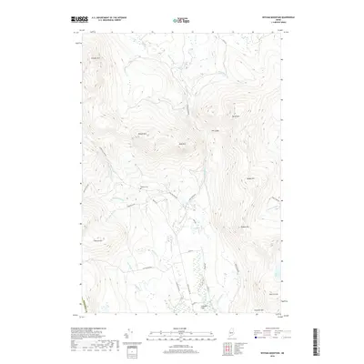
2018 Map of Witham Mountain
USGS Topo · Published 2018About this map
Lexington Flats sits at the southern edge of this landscape, where the waters of Sandy Stream and Pease Brook converge. This 2018 survey reveals a terrain defined by significant peaks and a dense network of watercourses, including Michael Stream and Little Alder Brook. Historically focused on timber and local transit, the area is navigated by routes such as Long Falls Dam Rd and Old Co Rd, which skirt the bases of Witham Mtn and Bald Mtn. Local history is anchored by the Highland Cem located near the center of the sheet, providing a primary point for genealogical research in this sparsely settled part of the Maine woods. The geography transitions from the low wetlands around Moores Pond to the higher elevations of Stewart Mtn and Burnt Hill, reflecting the varied drainage patterns that feed into the region's major streams.
Find a feature on this map
42 named features on this map. Tap any name to fly to it.
Don’t see what you’re looking for? This feature index may not catch every label — zoom into the map to look around manually.
Map Details
Editions of this 2018 Witham Mountain Map
This is the sole edition of this map. No revisions or reprints were ever made.
Other maps of this area

1903 · Bingham
USGS Topo · 1:62,500

1904 · Anson
USGS Topo · 1:62,500

1905 · Bingham
USGS Topo · 1:62,500

1928 · Dead River
USGS Topo · 1:62,500

1930 · Kingfield
USGS Topo · 1:48,000

1931 · Dead River
USGS Topo · 1:48,000

1932 · Kingfield
USGS Topo · 1:62,500

1944 · Dead River
USGS Topo · 1:62,500

1948 · Bangor
USGS Topo · 1:250,000

1949 · Jackman
USGS Topo · 1:250,000
Featured Places
- Kingfield, ME
- Pleasant Ridge Plantation, ME
- Highland Plantation, ME
- Concord Township, ME
- Lexington Township, ME