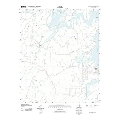
2010 Map of Wizard Wells
USGS Topo · Published 2010About this map
Wizard Wells and the surrounding terrain of Wise County are defined by the intricate shoreline of Lake Bridgeport and the waters of the West Fork Trinity River. This early 21st-century landscape shows a mix of rural crossroads like Vineyard and the developed waterfront community of Runaway Bay. Genealogists will find a significant concentration of local burial sites, including the Green Elm Cemetery, Morrow Cemetery, and Kilby Cemetery, reflecting the long-standing family roots in this corner of North Texas. The topography is marked by distinctive elevations such as Bear Knob and Jim Ned Hill, which overlook various drainages like Beans Creek and Jasper Creek. The map documents the modern road network, from FM 1156 to quiet tracks like Boy Scout Rd, tracing the transition from historic farmstead lands to recreational lakeside living.
Find a feature on this map
36 named features on this map. Tap any name to fly to it.
Don’t see what you’re looking for? This feature index may not catch every label — zoom into the map to look around manually.
Map Details
Editions of this 2010 Wizard Wells Map
This is the sole edition of this map. No revisions or reprints were ever made.
Other maps of this area

1954 · Sherman
USGS Topo · 1:250,000

1954 · Wichita Falls
USGS Topo · 1:250,000

1958 · Wichita Falls
USGS Topo · 1:250,000

1958 · Sherman
USGS Topo · 1:250,000

1960 · Bridgeport West
USGS Topo · 1:24,000

1960 · Gibtown
USGS Topo · 1:24,000

1960 · Wizard Wells
USGS Topo · 1:24,000
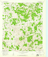
1960 · Boonsville
USGS Topo · 1:24,000
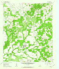
1961 · Perrin
USGS Topo · 1:24,000

1961 · Jacksboro NE
USGS Topo · 1:24,000