
1960 Map of Bridgeport West
USGS Topo · Published 1961About this map
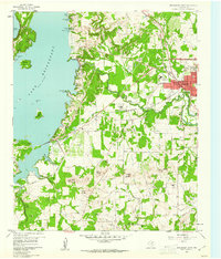
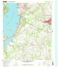
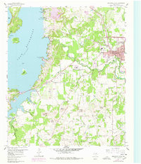
Bridgeport serves as the focal point of this 1960s study, situated where the Chicago Rock Island And Pacific railroad crosses the West Fork Trinity River. The landscape is defined by the eastern shores of Lake Bridgeport, where numerous inlets like Marine Base Slough and Crappie Cove create a complex shoreline. Local history is deeply etched into the terrain through a series of named elevations including Bowlin Mound, Carlisle Mound, and East Mound, the latter of which features the East Mound Cem. Cultural sites such as the Mexican Cem, the Lake Bridgeport Youth Camp, and a Drive-in Theater suggest a community in transition, balancing its agricultural roots with growing recreation and regional infrastructure like the nearby Gas Plant and Claypit.
Find a feature on this map
46 named features on this map. Tap any name to fly to it.
Don’t see what you’re looking for? This feature index may not catch every label — zoom into the map to look around manually.
Map Details
Editions of this 1960 Bridgeport West Map
4 editions found
Other maps of this area

1930 · Boyd
USGS Topo · 1:62,500

1954 · Sherman
USGS Topo · 1:250,000

1958 · Sherman
USGS Topo · 1:250,000

1960 · Bridgeport East
USGS Topo · 1:24,000

1960 · Gibtown
USGS Topo · 1:24,000

1960 · Cottondale
USGS Topo · 1:24,000

1960 · Wizard Wells
USGS Topo · 1:24,000
1960 · Boonsville
USGS Topo · 1:24,000

1961 · Alvord
USGS Topo · 1:24,000

1961 · Crafton
USGS Topo · 1:24,000