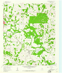
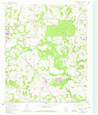
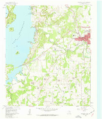
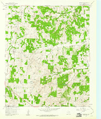
1960 Map of Bridgeport East
USGS Topo · Published 1961About this map
The West Fork Trinity River carves a winding path through this Wise County landscape, defining the local geography alongside numerous tributaries like Big Sandy Creek and Martin Branch. In the early 1960s, this area was a busy hub of energy production and transit, dominated by the sprawling Paradise Gas Field. Numerous gas wells and pipelines are dotted across the terrain, illustrating the mid-century industrial footprint of the region. The settlement of Paradise sits at a geographic crossroads, anchored by the Chicago Rock Island and Pacific railroad and local institutions such as Paradise School. Further northwest, the town of Bridgeport marks the western edge of this survey. Genealogists can find several family-oriented landmarks including Cuba Church, Valley View Cemetery, and Prescott Cemetery, which provide clues to the rural community structure that existed alongside the region's burgeoning gas industry.
Find a feature on this map
19 named features on this map. Tap any name to fly to it.
Don’t see what you’re looking for? This feature index may not catch every label — zoom into the map to look around manually.
Map Details
Editions of this 1960 Bridgeport East Map
2 editions found
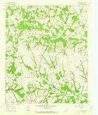
Other maps of this area
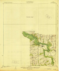
1924 · Sunset 4-d
USGS Topo · 1:48,000
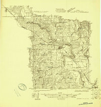
1930 · Boyd
USGS Topo · 1:62,500

1954 · Sherman
USGS Topo · 1:250,000

1958 · Sherman
USGS Topo · 1:250,000
1960 · Bridgeport West
USGS Topo · 1:24,000
1960 · Decatur
USGS Topo · 1:24,000
1960 · Boyd
USGS Topo · 1:24,000
1960 · Cottondale
USGS Topo · 1:24,000
1960 · Boonsville
USGS Topo · 1:24,000
1961 · Pecan Creek
USGS Topo · 1:24,000