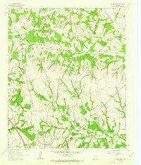
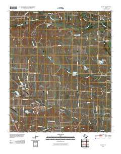
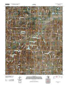
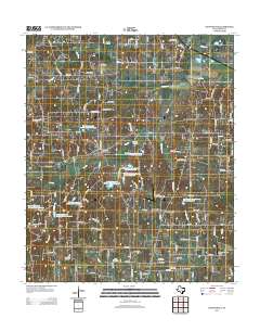
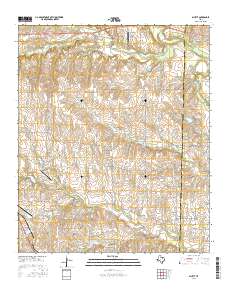
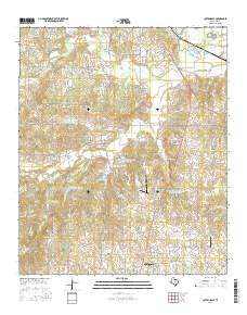
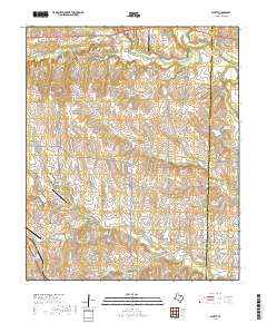
1961 Map of Pecan Creek
USGS Topo · Published 1963About this map
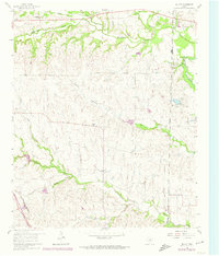
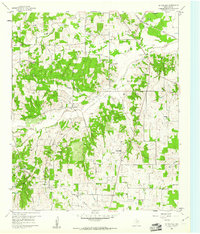
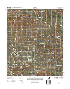
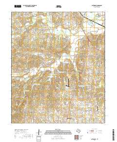
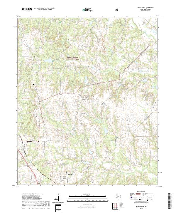
Decatur anchors the southwestern portion of this landscape, serving as a focal point for transportation and regional development in the early 1960s. The Fort Worth and Denver railroad cuts a diagonal path through the terrain, connecting the town to the broader Texas rail network. The area's industrial character is defined by the Alvord Southeast Bryson Oil Field and scattered gas wells, while several pipelines traverse the rolling country.
Find a feature on this map
19 named features on this map. Tap any name to fly to it.
Don’t see what you’re looking for? This feature index may not catch every label — zoom into the map to look around manually.
Map Details
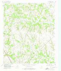
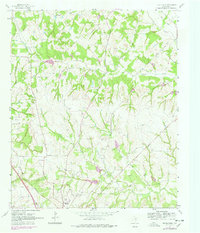
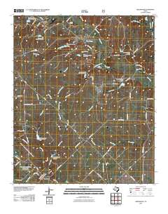
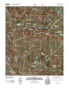
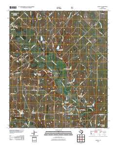
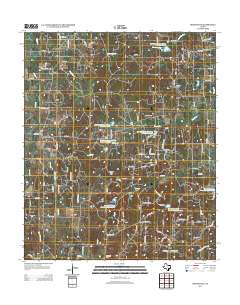
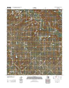
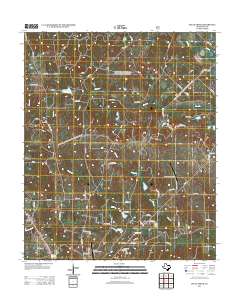
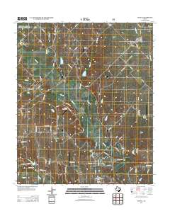
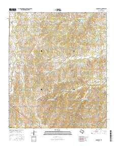
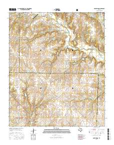
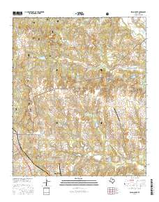
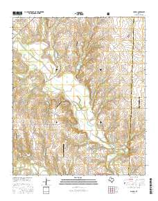
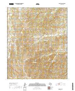
Editions of this 1961 Pecan Creek Map
4 editions found
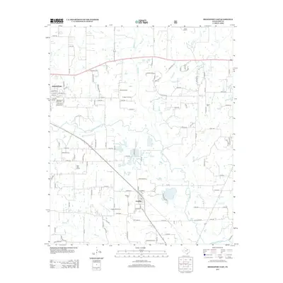
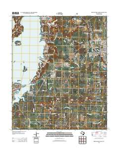
Historical Maps of Decatur Through Time
49 maps found
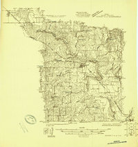
1924 Sunset 4-d
Wise County, TX
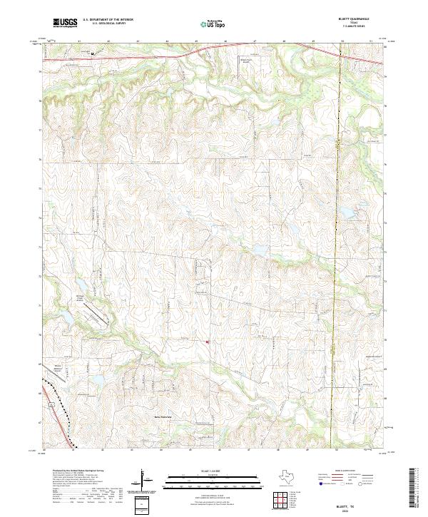
1960 Bluett
Wise County, TX
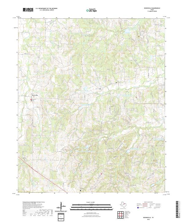
1960 Boonsville
Wise County, TX
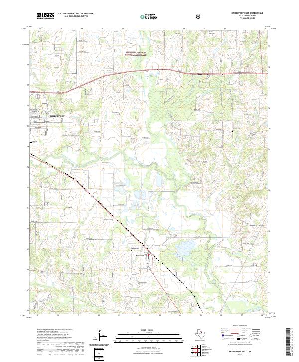
1960 Bridgeport East
Wise County, TX
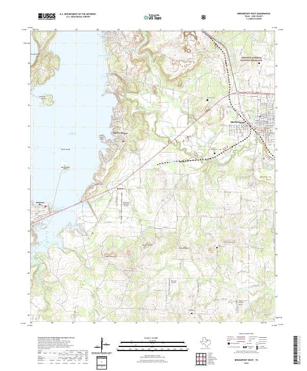
1960 Bridgeport West
Wise County, TX
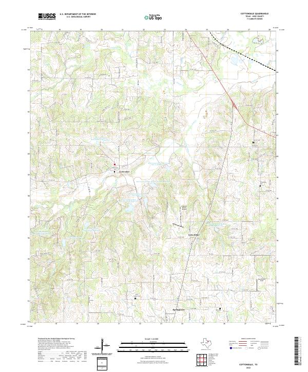
1960 Cottondale
Wise County, TX
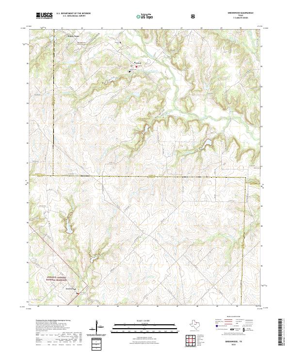
1961 Greenwood
Wise County, TX
1961 Pecan Creek
Wise County, TX
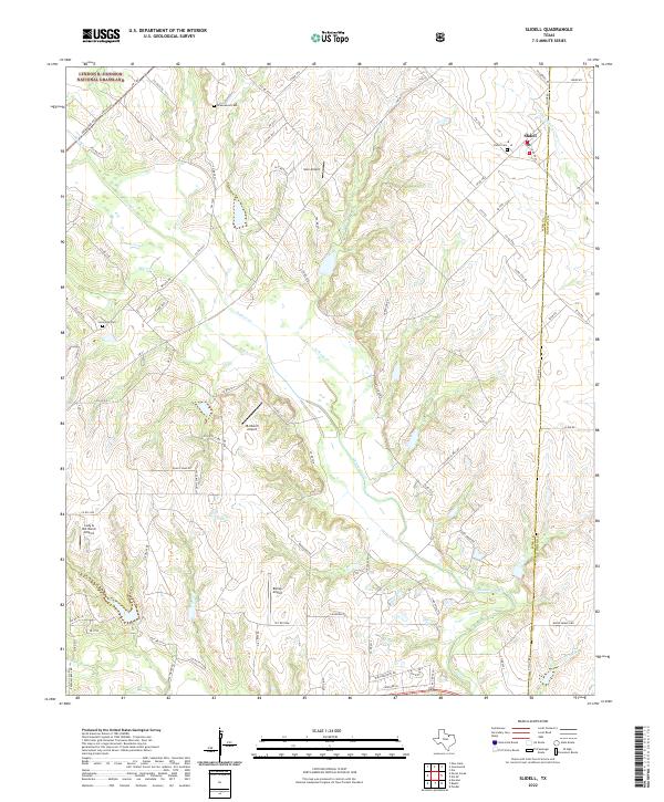
1961 Slidell
Wise County, TX
2010 Bluett
Wise County, TX
2010 Boonsville
Wise County, TX
2010 Bridgeport East
Wise County, TX
2010 Bridgeport West
Wise County, TX
2010 Cottondale
Wise County, TX
2010 Greenwood
Wise County, TX
2010 Pecan Creek
Wise County, TX
2010 Slidell
Wise County, TX
2013 Bluett
Wise County, TX
2013 Boonsville
Wise County, TX
2013 Bridgeport East
Wise County, TX
2013 Bridgeport West
Wise County, TX
2013 Cottondale
Wise County, TX
2013 Greenwood
Wise County, TX
2013 Pecan Creek
Wise County, TX
2013 Slidell
Wise County, TX
2016 Bluett
Wise County, TX
2016 Boonsville
Wise County, TX
2016 Bridgeport East
Wise County, TX
2016 Bridgeport West
Wise County, TX
2016 Cottondale
Wise County, TX
2016 Greenwood
Wise County, TX
2016 Pecan Creek
Wise County, TX
2016 Slidell
Wise County, TX
2019 Bluett
Wise County, TX
2019 Boonsville
Wise County, TX
2019 Bridgeport East
Wise County, TX
2019 Bridgeport West
Wise County, TX
2019 Cottondale
Wise County, TX
2019 Greenwood
Wise County, TX
2019 Pecan Creek
Wise County, TX
2019 Slidell
Wise County, TX
2022 Bluett
Wise County, TX
2022 Boonsville
Wise County, TX
2022 Bridgeport East
Wise County, TX
2022 Bridgeport West
Wise County, TX
2022 Cottondale
Wise County, TX
2022 Greenwood
Wise County, TX
2022 Pecan Creek
Wise County, TX
2022 Slidell
Wise County, TX