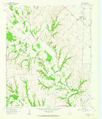
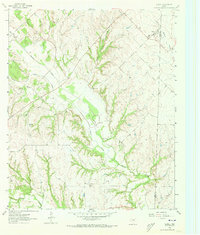
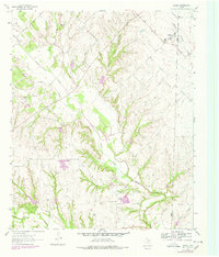
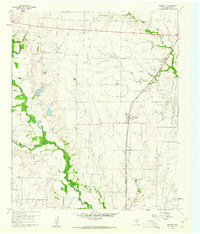
1961 Map of Slidell
USGS Topo · Published 1963About this map
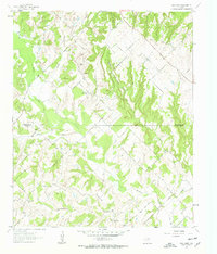
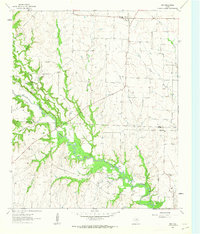
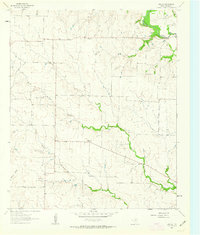
Slidell serves as the primary hub in this early 1960s survey of the northern Texas prairies, situated near the Wise Co Denton Co border. The landscape is defined by the dendritic drainage patterns of Denton Creek and its many tributaries, including Black Creek and North Pecan Creek. This era of the region reflects a quiet agricultural and industrial transition, characterized by small rural settlements and scattered resource extraction sites like the Gravel Pits found along the creek banks.
Find a feature on this map
17 named features on this map. Tap any name to fly to it.
Don’t see what you’re looking for? This feature index may not catch every label — zoom into the map to look around manually.
Map Details
Editions of this 1961 Slidell Map
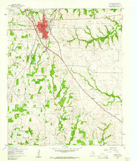
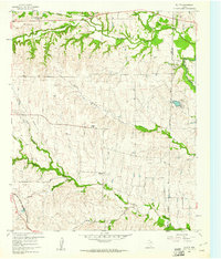
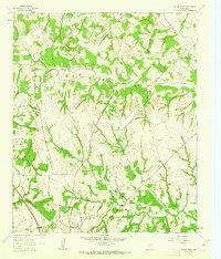
Other maps of this area
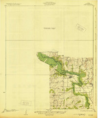
1930 · Boyd
USGS Topo · 1:62,500

1954 · Sherman
USGS Topo · 1:250,000

1958 · Sherman
USGS Topo · 1:250,000
1959 · Ponder
USGS Topo · 1:24,000
1960 · Decatur
USGS Topo · 1:24,000
1960 · Bluett
USGS Topo · 1:24,000
1961 · Pecan Creek
USGS Topo · 1:24,000
1961 · New Harp
USGS Topo · 1:24,000
1961 · Era
USGS Topo · 1:24,000
1961 · Era SE
USGS Topo · 1:24,000