
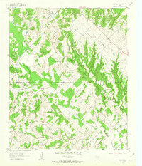
1961 Map of New Harp
USGS Topo · Published 1963About this map
New Harp sits at the heart of this landscape along the boundary line of Montague and Wise County, characterized by a dense network of watercourses and isolated rural landmarks. The terrain is deeply carved by the headwaters of Denton Creek and its many tributaries, including Rush Creek and Panther Creek. This early 1960s survey illustrates a quiet, ranching-focused community defined more by its natural topography than its sparse settlement.
Find a feature on this map
11 named features on this map. Tap any name to fly to it.
Don’t see what you’re looking for? This feature index may not catch every label — zoom into the map to look around manually.
Map Details
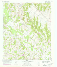
Editions of this 1961 New Harp Map
3 editions found
Other maps of this area

1902 · Gainesville
USGS Topo · 1:125,000

1905 · Montague
USGS Topo · 1:125,000

1943 · Gainesville
USGS Topo · 1:125,000

1954 · Sherman
USGS Topo · 1:250,000

1958 · Sherman
USGS Topo · 1:250,000

1961 · Pecan Creek
USGS Topo · 1:24,000

1961 · Salona
USGS Topo · 1:24,000

1961 · Alvord
USGS Topo · 1:24,000

1961 · Freemound
USGS Topo · 1:24,000

1961 · Slidell
USGS Topo · 1:24,000