
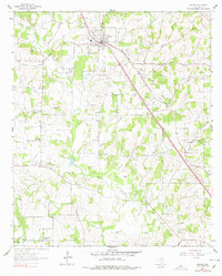
1961 Map of Alvord
USGS Topo · Published 1963About this map
Alvord serves as the central hub of this North Texas landscape, where the Fort Worth and Denver railroad cuts a diagonal line through the countryside. The 1961 environment is defined by a dense network of petroleum exploration, with the Caughlin Oil Field, Alvord Southeast Oil Field, and Boonsville Oil Field blanketing the terrain. Numerous gas and oil wells are scattered between the drainages of Sandy Creek and Briar Creek, illustrating the intense industrial footprint of the era.
Find a feature on this map
32 named features on this map. Tap any name to fly to it.
Don’t see what you’re looking for? This feature index may not catch every label — zoom into the map to look around manually.
Map Details
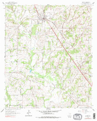
Editions of this 1961 Alvord Map
3 editions found
Other maps of this area

1930 · Boyd
USGS Topo · 1:62,500

1954 · Sherman
USGS Topo · 1:250,000

1958 · Sherman
USGS Topo · 1:250,000

1960 · Bridgeport West
USGS Topo · 1:24,000

1960 · Bridgeport East
USGS Topo · 1:24,000

1960 · Decatur
USGS Topo · 1:24,000

1961 · Pecan Creek
USGS Topo · 1:24,000

1961 · New Harp
USGS Topo · 1:24,000

1961 · Sunset
USGS Topo · 1:24,000
1961 · Smyrna
USGS Topo · 1:24,000