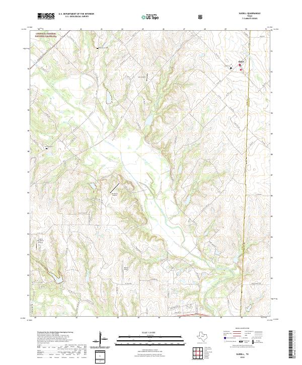
1961 Map of Slidell
USGS Topo · Published 1973About this map
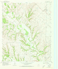
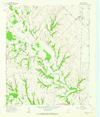
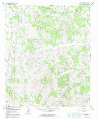
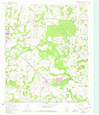
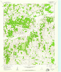
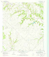
Slidell serves as a central hub on the boundary between Wise and Denton counties, anchoring a landscape defined by an intricate network of drainage systems. The survey captures the rural character of North Texas in the early 1960s, showing the convergence of Denton Creek and its many tributaries, including Black Creek and Sisal Creek. Local history and genealogy are anchored by features such as Greenwood Cem and the small settlements of Sycamore and Allison. The terrain is marked by numerous Gravel Pits concentrated in the central valleys, indicating the local extraction industry of the era. The mapping also reveals a dense pattern of fence lines and unimproved dirt roads, illustrating the ranching and agricultural partitions that structured the land before modern development significantly altered the rural layout.
Find a feature on this map
16 named features on this map. Tap any name to fly to it.
Don’t see what you’re looking for? This feature index may not catch every label — zoom into the map to look around manually.
Map Details
Editions of this 1961 Slidell Map
Historical Maps of Slidell Through Time
17 maps found
1924 Sunset 4-d
Wise County, TX
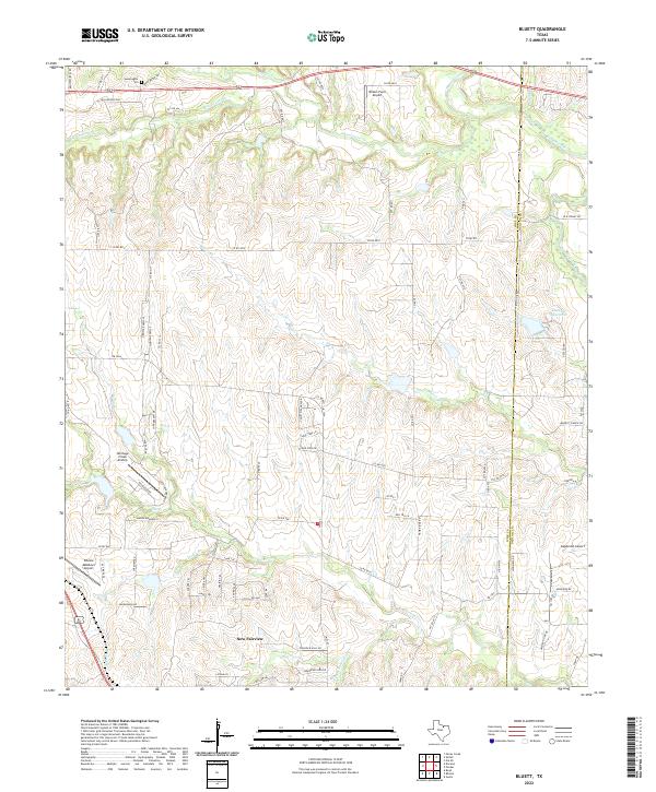
1960 Bluett
Wise County, TX
1960 Boonsville
Wise County, TX
1960 Bridgeport East
Wise County, TX
1960 Bridgeport West
Wise County, TX
1960 Cottondale
Wise County, TX
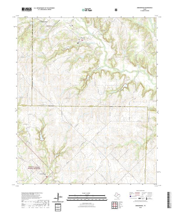
1961 Greenwood
Wise County, TX
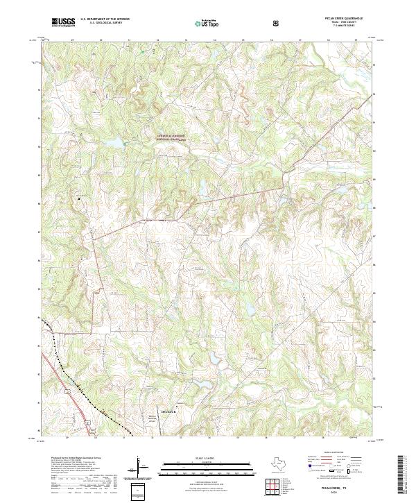
1961 Pecan Creek
Wise County, TX
1961 Slidell
Wise County, TX
2022 Bluett
Wise County, TX
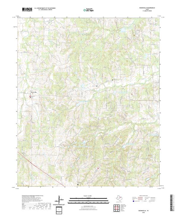
2022 Boonsville
Wise County, TX
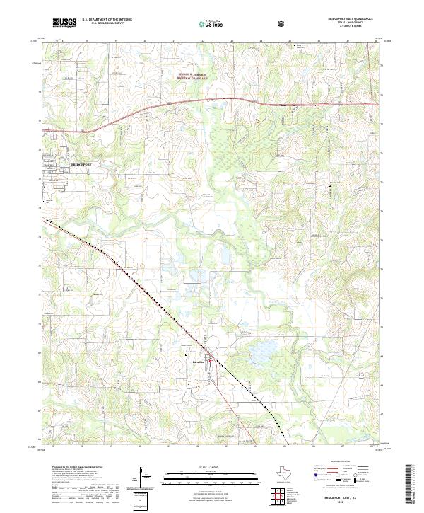
2022 Bridgeport East
Wise County, TX
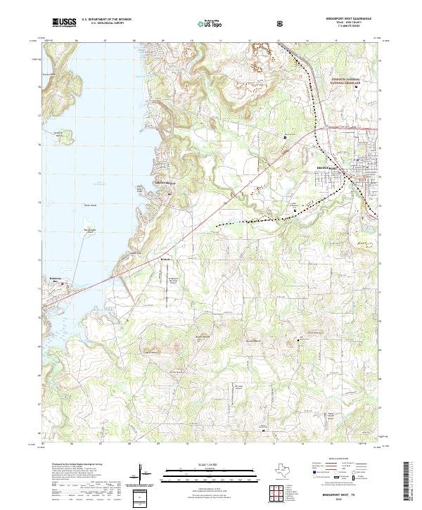
2022 Bridgeport West
Wise County, TX
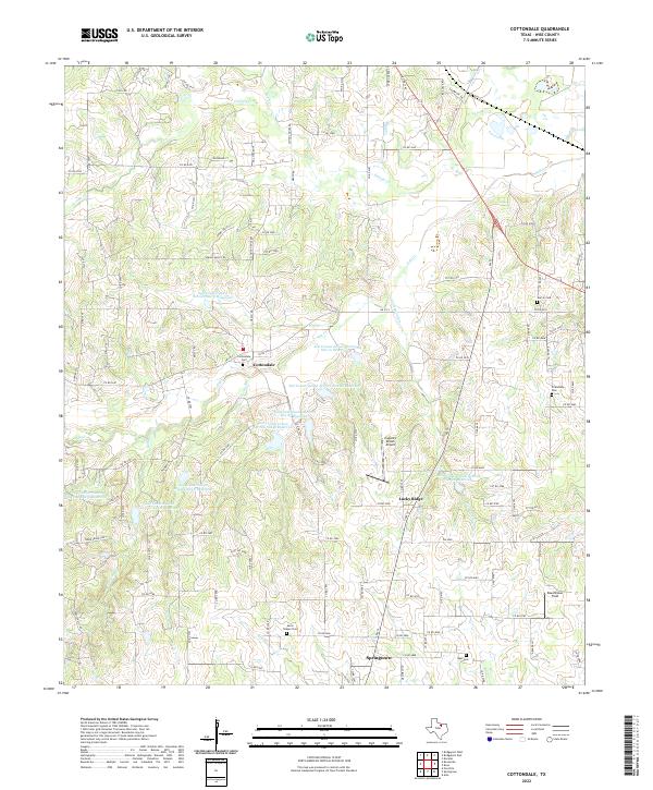
2022 Cottondale
Wise County, TX
2022 Greenwood
Wise County, TX
2022 Pecan Creek
Wise County, TX
2022 Slidell
Wise County, TX