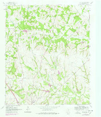
1961 Map of Pecan Creek
USGS Topo · Published 1978About this map
Decatur anchors the southern edge of this Wise County landscape, serving as a hub where the Fort Worth and Denver railroad and the Old Decatur Road converge. The terrain is defined by a dense network of drainage systems, including Pecan Creek, Catlett Creek, and Black Creek, which weave through the prairie and post oak topography. Local heritage is preserved in the presence of Oaklawn Cemetery and Flat Rock Cemetery, alongside the Oak Grove Church, marking the spiritual and communal centers of the era.
Find a feature on this map
22 named features on this map. Tap any name to fly to it.
Don’t see what you’re looking for? This feature index may not catch every label — zoom into the map to look around manually.
Map Details
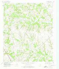
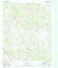
Editions of this 1961 Pecan Creek Map
4 editions found
Other maps of this area

1930 · Boyd
USGS Topo · 1:62,500

1954 · Sherman
USGS Topo · 1:250,000

1958 · Sherman
USGS Topo · 1:250,000

1960 · Bridgeport East
USGS Topo · 1:24,000

1960 · Decatur
USGS Topo · 1:24,000

1960 · Bluett
USGS Topo · 1:24,000

1961 · Pecan Creek
USGS Topo · 1:24,000

1961 · Alvord
USGS Topo · 1:24,000

1961 · New Harp
USGS Topo · 1:24,000

1961 · Slidell
USGS Topo · 1:24,000