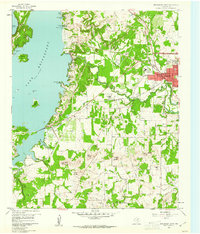
1960 Map of Bridgeport West
USGS Topo · Published 1961About this map
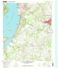
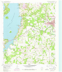
Lake Bridgeport dominates the western horizon of this Wise County landscape, its jagged shoreline reaching into narrow inlets like Hackberry Slough and Marine Base Slough. The city of Bridgeport serves as the focal point to the east, where the Chicago Rock Island and Pacific railroad tracks bisect the street grid near local industries including a Claypit and a Filtration Plant. South of the city, the West Fork Trinity River meanders through bottomlands, flanked by a series of distinctive elevations such as Bowlin Mound, Brushy Mound, and Carlisle Mound.
Find a feature on this map
43 named features on this map. Tap any name to fly to it.
Don’t see what you’re looking for? This feature index may not catch every label — zoom into the map to look around manually.
Map Details
Editions of this 1960 Bridgeport West Map
4 editions found
Other maps of this area

1930 · Boyd
USGS Topo · 1:62,500

1954 · Sherman
USGS Topo · 1:250,000

1958 · Sherman
USGS Topo · 1:250,000

1960 · Bridgeport West
USGS Topo · 1:24,000

1960 · Bridgeport East
USGS Topo · 1:24,000

1960 · Gibtown
USGS Topo · 1:24,000

1960 · Cottondale
USGS Topo · 1:24,000

1960 · Wizard Wells
USGS Topo · 1:24,000
1960 · Boonsville
USGS Topo · 1:24,000

1961 · Alvord
USGS Topo · 1:24,000