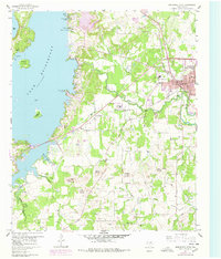
1960 Map of Bridgeport West
USGS Topo · Published 1978About this map
Lake Bridgeport dominates the western landscape of this mid-century survey, its jagged shoreline defined by features like Steele Island and Rattlesnake Island. East of the water, the industrial and civic center of Bridgeport shows expansion through purple-tinted urban updates, including a Filtration Plant and Sewage Disposal facility. The presence of a Claypit and the Rock Island and Pacific railroad tracks underscore the area's manufacturing and transit roots.
Find a feature on this map
47 named features on this map. Tap any name to fly to it.
Don’t see what you’re looking for? This feature index may not catch every label — zoom into the map to look around manually.
Map Details
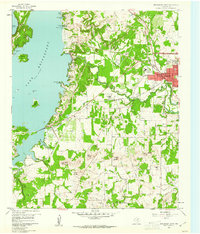
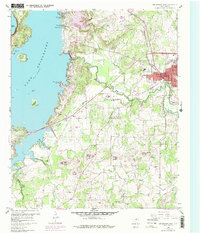
Editions of this 1960 Bridgeport West Map
4 editions found
Other maps of this area

1930 · Boyd
USGS Topo · 1:62,500

1954 · Sherman
USGS Topo · 1:250,000

1958 · Sherman
USGS Topo · 1:250,000

1960 · Bridgeport West
USGS Topo · 1:24,000

1960 · Bridgeport East
USGS Topo · 1:24,000

1960 · Gibtown
USGS Topo · 1:24,000

1960 · Cottondale
USGS Topo · 1:24,000

1960 · Wizard Wells
USGS Topo · 1:24,000
1960 · Boonsville
USGS Topo · 1:24,000

1961 · Alvord
USGS Topo · 1:24,000