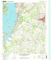
1960 Map of Bridgeport West
USGS Topo · Published 1978About this map
Bridgeport serves as the focal point of this western Wise County landscape, situated at the intersection of the Rock Island and Chicago railroad and the West Fork Trinity River. The topography is defined by prominent elevations like West Mound and East Mound, which overlook a network of watercourses including Village Creek and Ramsey Creek. The vast expanse of Lake Bridgeport dominates the west, featuring numerous named sloughs and islands such as Stripling Island and Rattlesnake Island.
Find a feature on this map
45 named features on this map. Tap any name to fly to it.
Don’t see what you’re looking for? This feature index may not catch every label — zoom into the map to look around manually.
Map Details
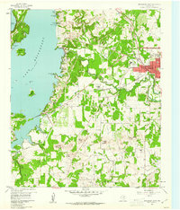
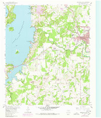
Editions of this 1960 Bridgeport West Map
4 editions found
Other maps of this area

1930 · Boyd
USGS Topo · 1:62,500

1954 · Sherman
USGS Topo · 1:250,000

1958 · Sherman
USGS Topo · 1:250,000

1960 · Bridgeport West
USGS Topo · 1:24,000

1960 · Bridgeport East
USGS Topo · 1:24,000

1960 · Gibtown
USGS Topo · 1:24,000

1960 · Cottondale
USGS Topo · 1:24,000

1960 · Wizard Wells
USGS Topo · 1:24,000
1960 · Boonsville
USGS Topo · 1:24,000

1961 · Alvord
USGS Topo · 1:24,000