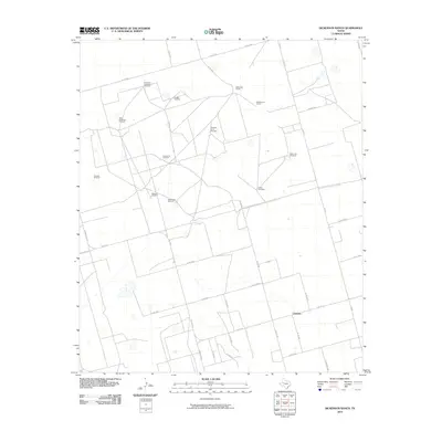
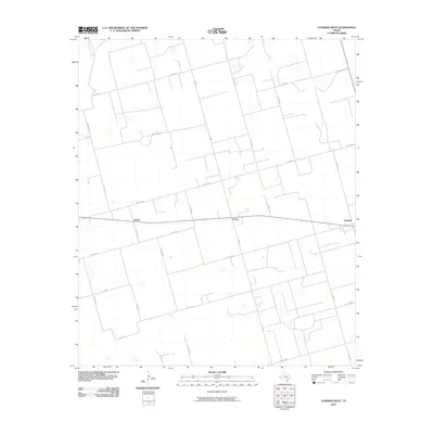
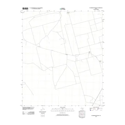
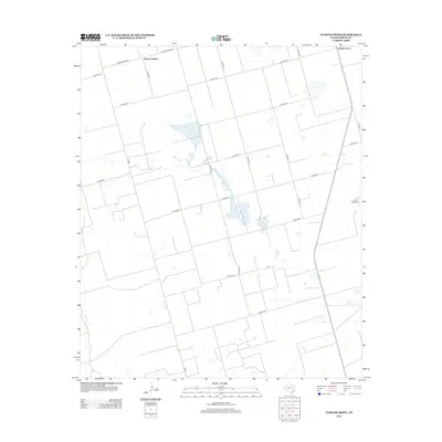
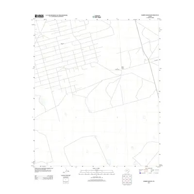
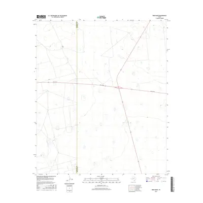
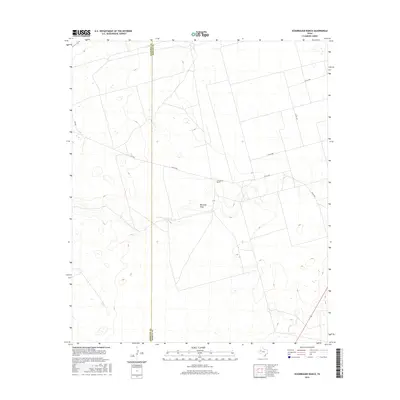
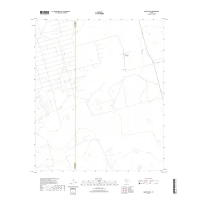
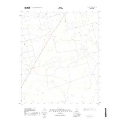
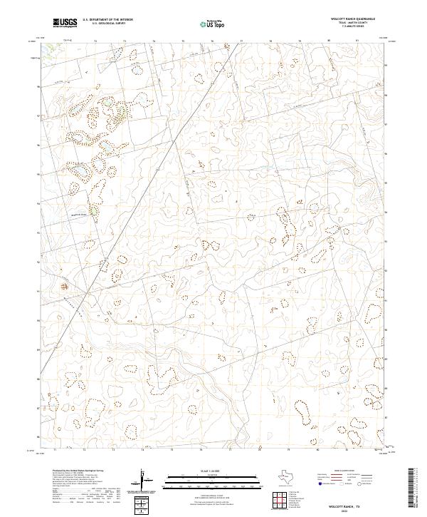
1966 Map of Wolcott Ranch
USGS Topo · Published 1966About this map
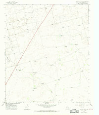
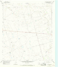
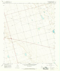
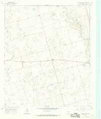
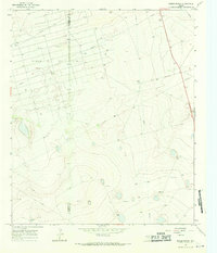
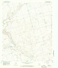
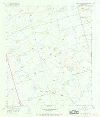
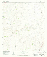
Breedlove Oil Field dominates the northern landscape of this Martin County quadrangle, where a grid of oil wells and service roads overlays the High Plains terrain. The map captures an era of intensive resource extraction and ranching, evidenced by the numerous named water sources essential for livestock and drilling operations. Scattered across the plains are uniquely named landmarks such as Dynamite Windmill, Budwizer Windmill, and Bull Windmill, which served as critical reference points in the open country.
Find a feature on this map
26 named features on this map. Tap any name to fly to it.
Don’t see what you’re looking for? This feature index may not catch every label — zoom into the map to look around manually.
Map Details
Editions of this 1966 Wolcott Ranch Map
This is the sole edition of this map. No revisions or reprints were ever made.
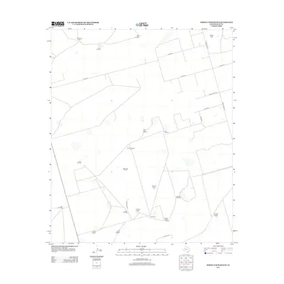
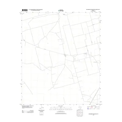
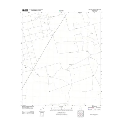
Historical Maps of Martin County Through Time
66 maps found
1966 Bird Ranch
Martin County, TX
1966 Dickenson Ranch
Martin County, TX
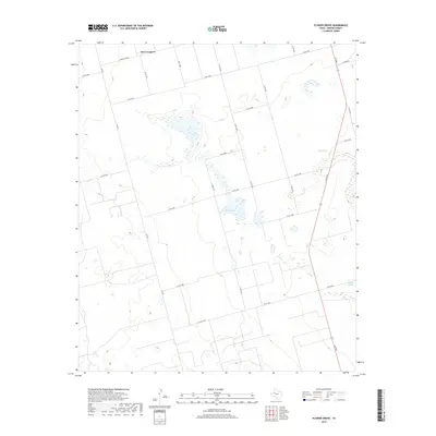
1966 Flower Grove
Martin County, TX
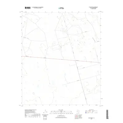
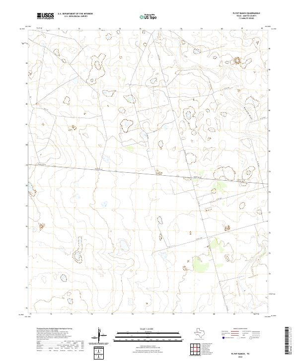
1966 Flynt Ranch
Martin County, TX
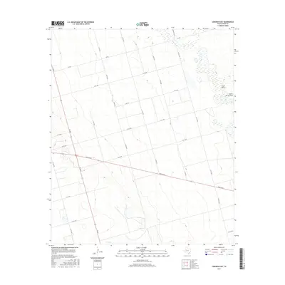
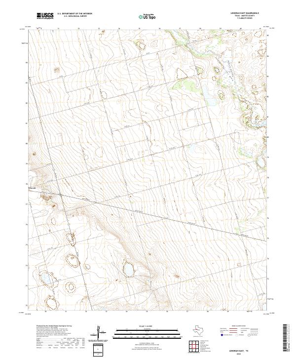
1966 Lenorah East
Martin County, TX
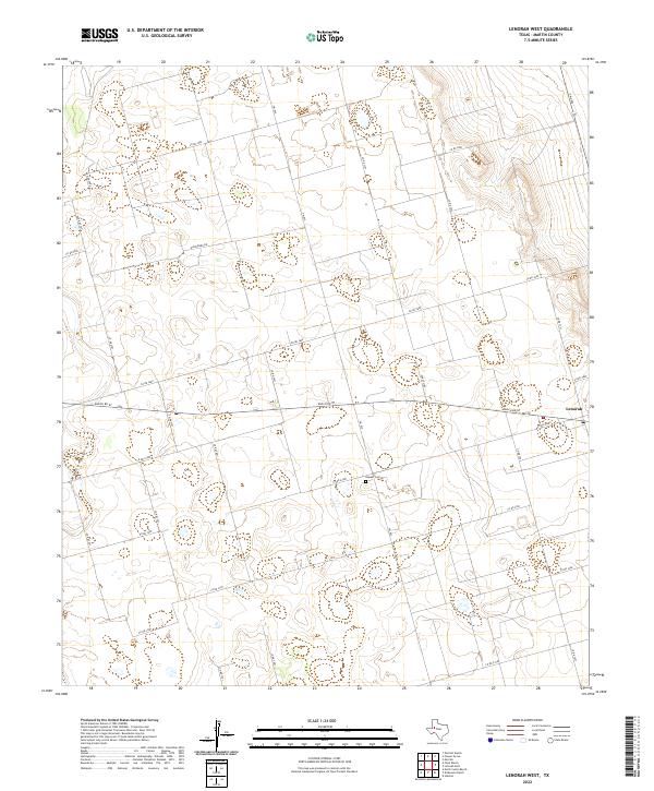
1966 Lenorah West
Martin County, TX
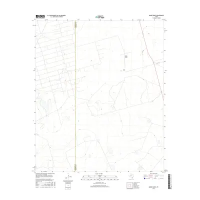
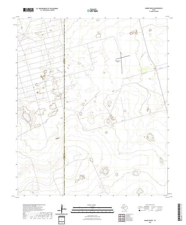
1966 Mabee Ranch
Martin County, TX
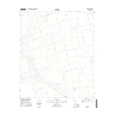
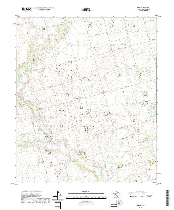
1966 Merrick
Martin County, TX
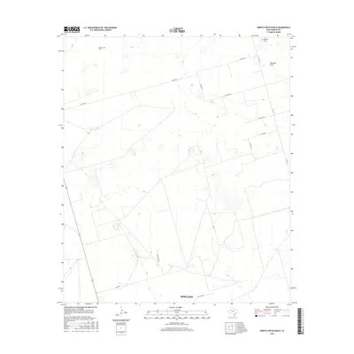
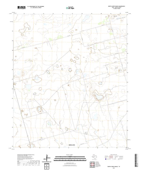
1966 North Curtis Ranch
Martin County, TX
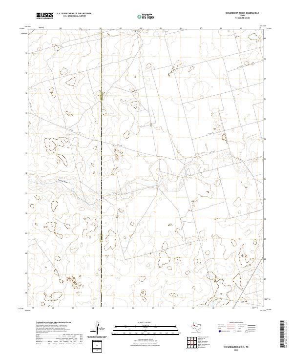
1966 Scharbauer Ranch
Martin County, TX
1966 Wolcott Ranch
Martin County, TX
2010 Bird Ranch
Martin County, TX
2010 Dickenson Ranch
Martin County, TX
2010 Flower Grove
Martin County, TX
2010 Flynt Ranch
Martin County, TX
2010 Lenorah East
Martin County, TX
2010 Lenorah West
Martin County, TX
2010 Mabee Ranch
Martin County, TX
2010 Merrick
Martin County, TX
2010 North Curtis Ranch
Martin County, TX
2010 Scharbauer Ranch
Martin County, TX
2010 Wolcott Ranch
Martin County, TX
2012 Bird Ranch
Martin County, TX
2012 Dickenson Ranch
Martin County, TX
2012 Flower Grove
Martin County, TX
2012 Flynt Ranch
Martin County, TX
2012 Lenorah East
Martin County, TX
2012 Lenorah West
Martin County, TX
2012 Mabee Ranch
Martin County, TX

2012 Merrick
Martin County, TX
2012 North Curtis Ranch
Martin County, TX
2012 Scharbauer Ranch
Martin County, TX
2012 Wolcott Ranch
Martin County, TX
2016 Bird Ranch
Martin County, TX
2016 Dickenson Ranch
Martin County, TX
2016 Flower Grove
Martin County, TX
2016 Flynt Ranch
Martin County, TX
2016 Lenorah East
Martin County, TX

2016 Lenorah West
Martin County, TX
2016 Mabee Ranch
Martin County, TX
2016 Merrick
Martin County, TX
2016 North Curtis Ranch
Martin County, TX
2016 Scharbauer Ranch
Martin County, TX
2016 Wolcott Ranch
Martin County, TX
2019 Bird Ranch
Martin County, TX
2019 Dickenson Ranch
Martin County, TX
2019 Flower Grove
Martin County, TX
2019 Flynt Ranch
Martin County, TX
2019 Lenorah East
Martin County, TX
2019 Lenorah West
Martin County, TX
2019 Mabee Ranch
Martin County, TX
2019 Merrick
Martin County, TX
2019 North Curtis Ranch
Martin County, TX
2019 Scharbauer Ranch
Martin County, TX
2019 Wolcott Ranch
Martin County, TX
2022 Bird Ranch
Martin County, TX
2022 Dickenson Ranch
Martin County, TX
2022 Flower Grove
Martin County, TX
2022 Flynt Ranch
Martin County, TX
2022 Lenorah East
Martin County, TX
2022 Lenorah West
Martin County, TX
2022 Mabee Ranch
Martin County, TX
2022 Merrick
Martin County, TX
2022 North Curtis Ranch
Martin County, TX
2022 Scharbauer Ranch
Martin County, TX
2022 Wolcott Ranch
Martin County, TX