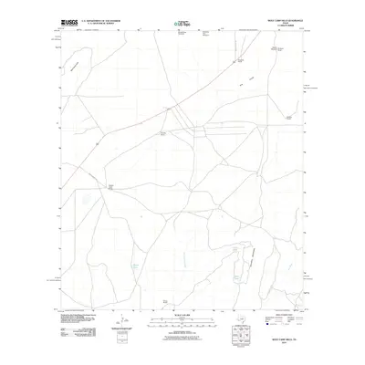
2010 Map of Wolf Camp Hills
USGS Topo · Published 2010About this map
Kendrick Ranch and Gourley Ranch anchor this landscape of the Texas Trans-Pecos, where the vastness of the W B Flats meets the rising terrain of Stillwell Mountain. This 2010 survey documents a ranching-focused economy defined by scattered homesteads and critical water infrastructure such as Yarbro Tank and the Meeks Draw Windmill. The network of unpaved paths, including Brooks Ranch Rd and Kincaid Ranch Rd, illustrates the connectivity of these remote properties across the Wolf Camp Hills. Waterways like San Francisco Creek and Frog Creek cut through the terrain, highlighting the geographic features essential for land management in this arid Pecos County region. This topographic record preserves the locations of numerous family-named landmarks, from the De Spain Ranch to the Rowark Ranch, at a time when traditional land use remains the primary footprint on the environment.
Find a feature on this map
20 named features on this map. Tap any name to fly to it.
Don’t see what you’re looking for? This feature index may not catch every label — zoom into the map to look around manually.
Map Details
Editions of this 2010 Wolf Camp Hills Map
This is the sole edition of this map. No revisions or reprints were ever made.
Other maps of this area

1920 · Longfellow
USGS Topo · 1:125,000

1920 · Marathon
USGS Topo · 1:62,500

1921 · Marathon
USGS Topo · 1:62,500

1923 · Hess Canyon
USGS Topo · 1:62,500

1954 · Fort Stockton
USGS Topo · 1:250,000

1958 · Fort Stockton
USGS Topo · 1:250,000

1968 · Housetop Mountains
USGS Topo · 1:24,000

1968 · Marathon Gap
USGS Topo · 1:24,000

1968 · Dimple Hills
USGS Topo · 1:24,000

1973 · Fort Stockton
USGS Topo · 1:250,000