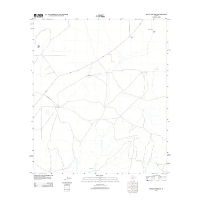
2012 Map of Wolf Camp Hills
USGS Topo · Published 2012About this map
Ranching operations define the remote landscape of Pecos County on this 2012 survey, where family-named holdings like Kandrick Ranch and Gourley Ranch are connected by a sparse network of unpaved roads. The terrain is marked by significant elevations including Stillwell Mountain in the south and the Wolf Camp Hills to the northwest. These landforms shape the drainage patterns of ephemeral watercourses such as San Francisco Cr and Frog Cr, which cut through the arid plains. The distribution of features like the Adams Windmill and the Kindaid-Taylor Ranch reflects the enduring reliance on groundwater and vast acreage typical of Trans-Pecos Texas. Researchers can trace the layout of traditional cattle or sheep country through specific sites like the De Spain Ranch, Rowark Ranch, and Yarbro Ranch, accessed via Brooks Ranch Rd and Kincaid Ranch Rd.
Find a feature on this map
13 named features on this map. Tap any name to fly to it.
Don’t see what you’re looking for? This feature index may not catch every label — zoom into the map to look around manually.
Map Details
Editions of this 2012 Wolf Camp Hills Map
This is the sole edition of this map. No revisions or reprints were ever made.
Other maps of this area

1920 · Longfellow
USGS Topo · 1:125,000

1920 · Marathon
USGS Topo · 1:62,500

1921 · Marathon
USGS Topo · 1:62,500

1923 · Hess Canyon
USGS Topo · 1:62,500

1954 · Fort Stockton
USGS Topo · 1:250,000

1958 · Fort Stockton
USGS Topo · 1:250,000

1968 · Housetop Mountains
USGS Topo · 1:24,000

1968 · Marathon Gap
USGS Topo · 1:24,000

1968 · Dimple Hills
USGS Topo · 1:24,000

1973 · Fort Stockton
USGS Topo · 1:250,000